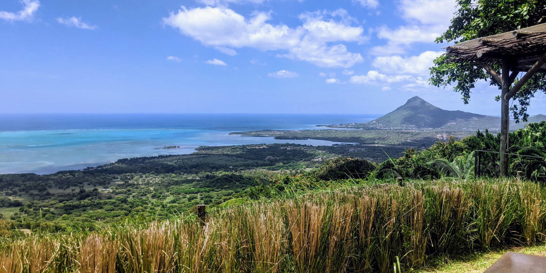
To discover Niger is to travel off the beaten track, in a pivotal country between the north and south of the Sahara, where peoples of diverse origins have crossed paths for millennia. From the verdant Niger Valley to the majestic Saharan dunes, we take a look at five must-see places in a rugged, authentic country with breathtaking landscapes.
Niger at a glance
Twice the size of France, Niger is a vast territory that serves as a crossroads for trade between North and Sub-Saharan Africa. The official language is French. Hausa, Zarma, Songhai, Tamasheq and Peul are also spoken. The majority of the population is Muslim.
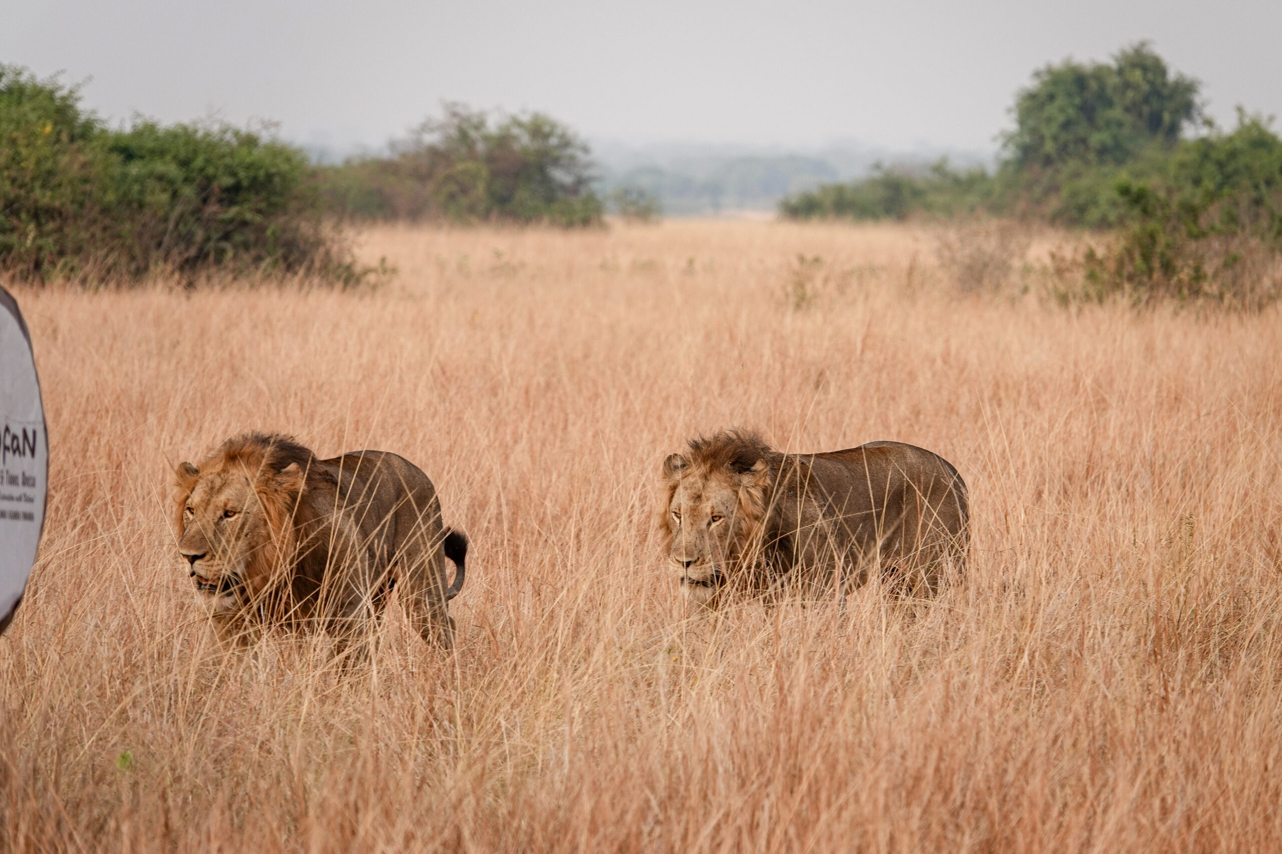
Largely covered by the Sahara and the Sahel (80% of the territory), Niger is one of the most sparsely populated countries in West Africa (20 million inhabitants in 2018). Almost the entire population is concentrated in the only green strip to the south of the country, fleeing the desert expanses that are constantly gaining ground(200,000 hectares more desert every year). Some animals, such as elephants, lions and giraffes, are in danger of extinction due to forest destruction and poaching.
With extremely limited water reserves, frequent droughts and increasing deforestation, the country could soon disappear completely under the sand.
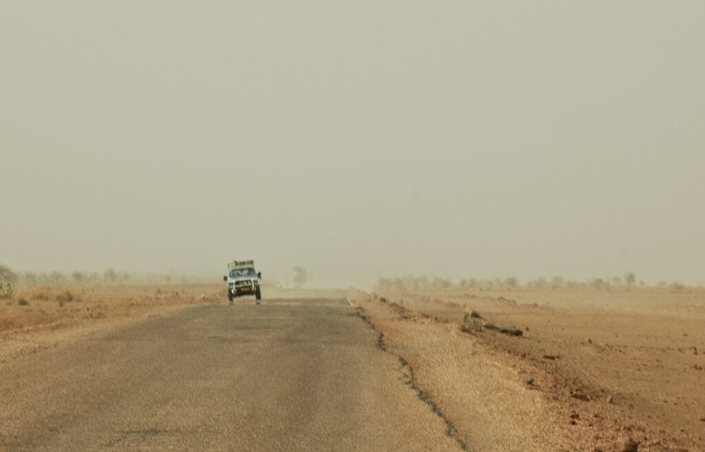
Niger has a Sahelian-Saharan climate: hot or very hot! Average temperatures are around 30°C, but can exceed 50°C between March and June. The country has two seasons, dry and wet. The rainy season begins in June and lasts until October. It is accompanied by a south-westerly flow, the monsoon, which brings sandstorms, numerous showers and fairly violent thunderstorms. From November to February, theharmattan blows, a very dry, dust-laden north-easterly wind, sometimes eliminating all visibility.
Initially a French colony, Niger gained independence in 1960. The country experienced several coups d’état and three periods of military rule before becoming a democratic, multi-party republic (semi-presidential regime). In recent years, the Tillabéri region, in the so-called “tri-border” area between Niger, Burkina Faso and Mali, has been plagued by
The country’s economy is based primarily onagriculture anduranium mining. Periodically affected by years of drought and/or locust invasions, agricultural production struggles to keep pace with the sharp rise in population. 41.8% of the population, or over 10 million people, live in
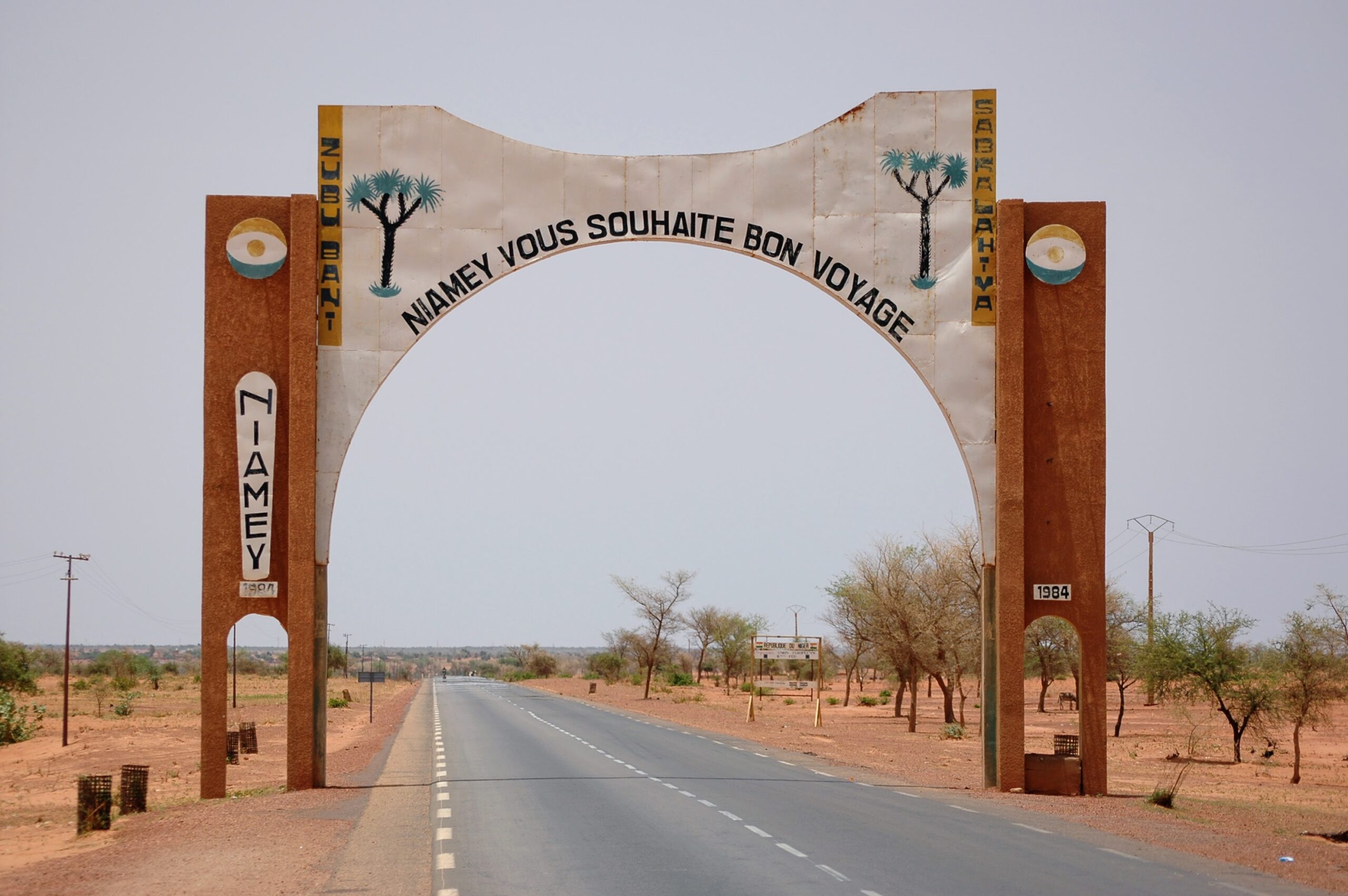
Niamey, gateway to the Sahara
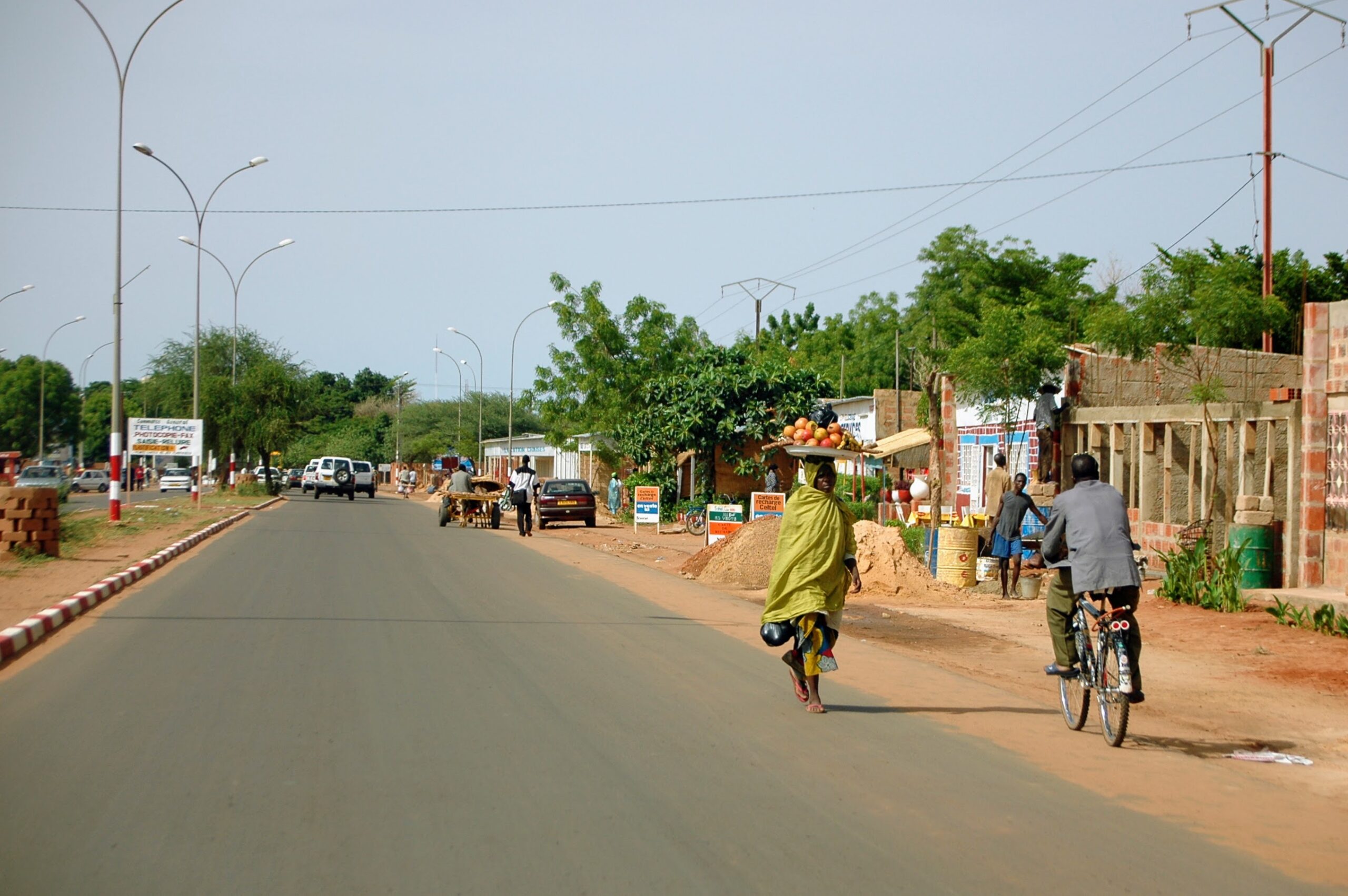
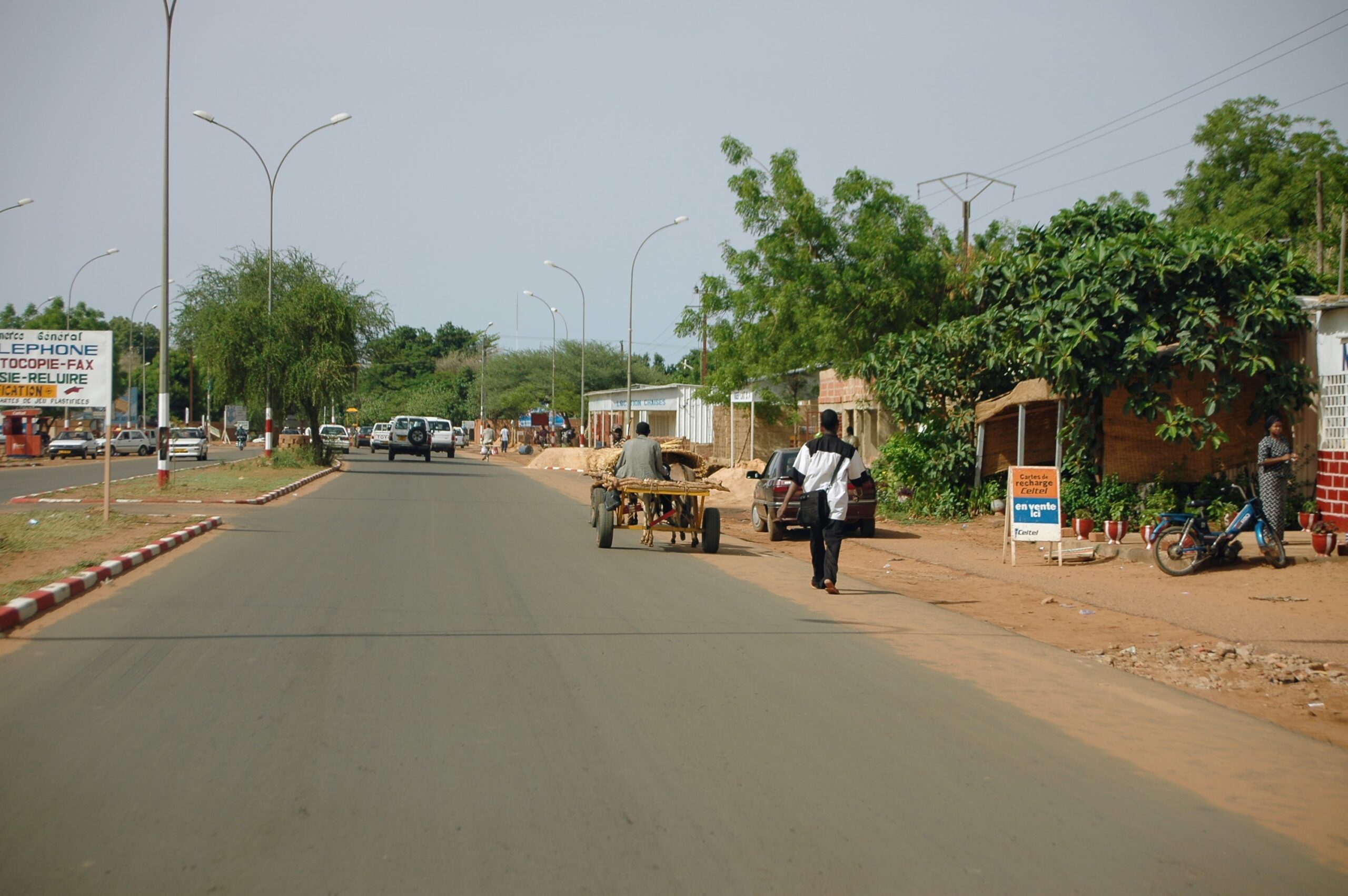
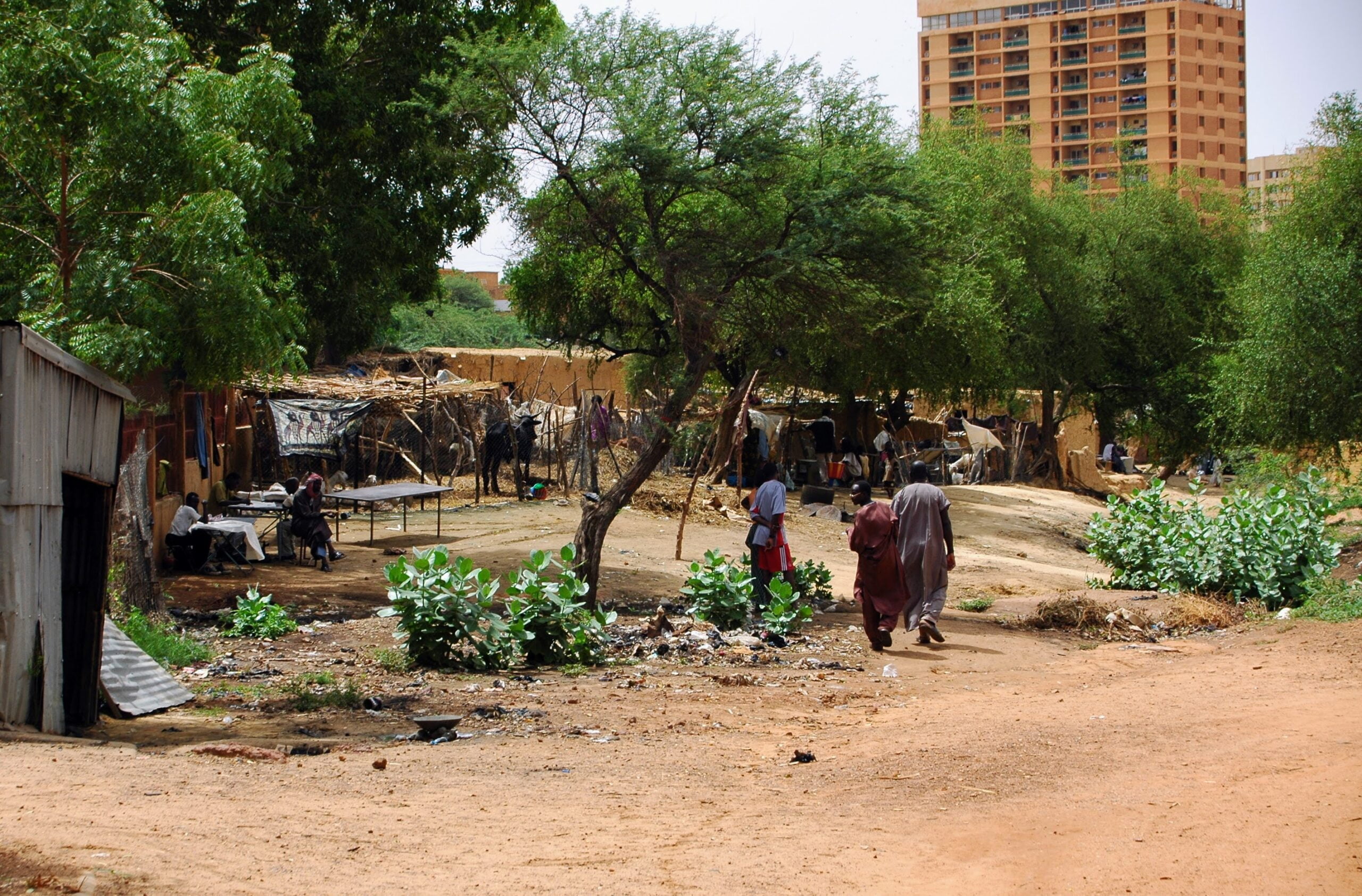
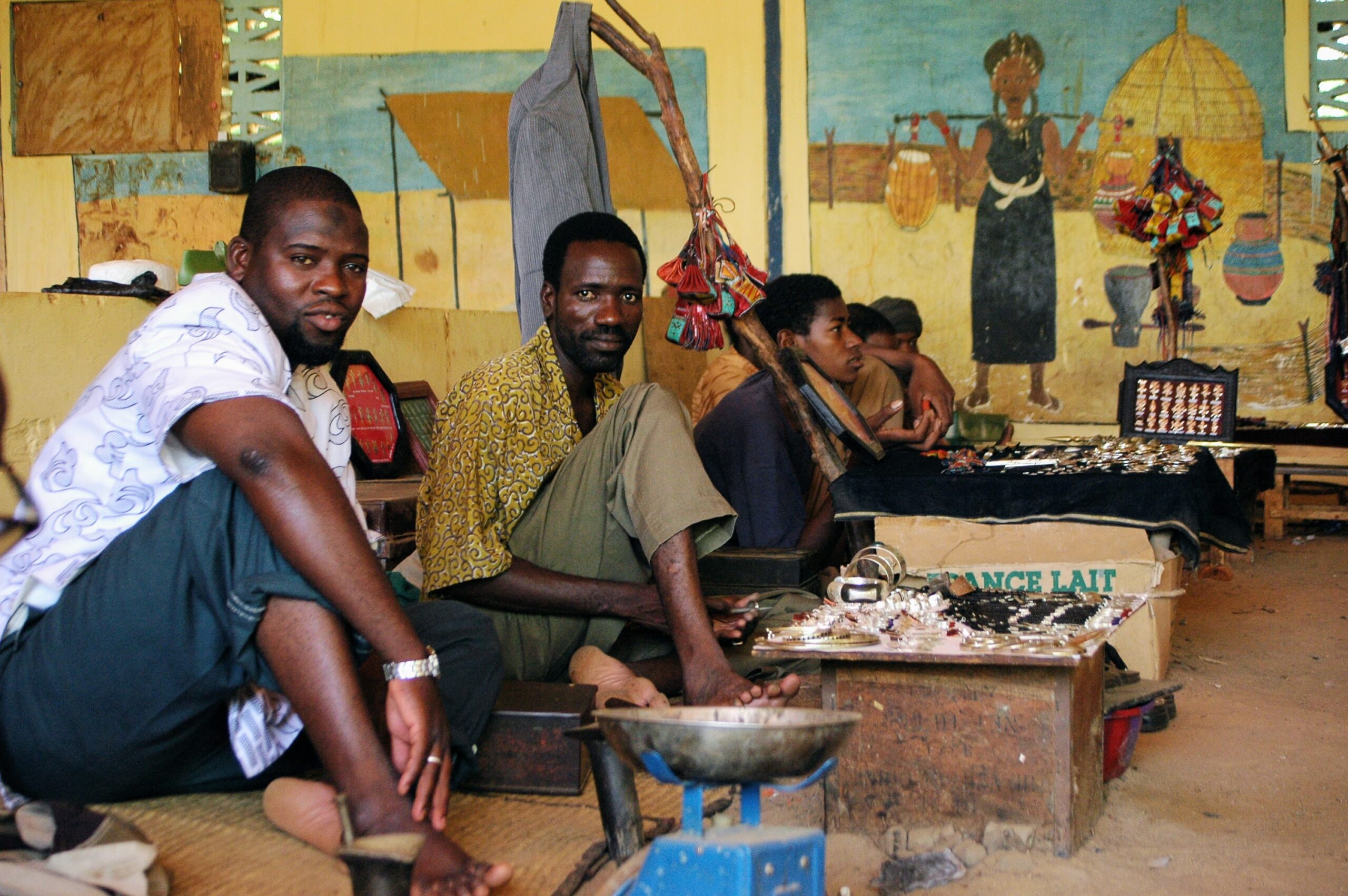
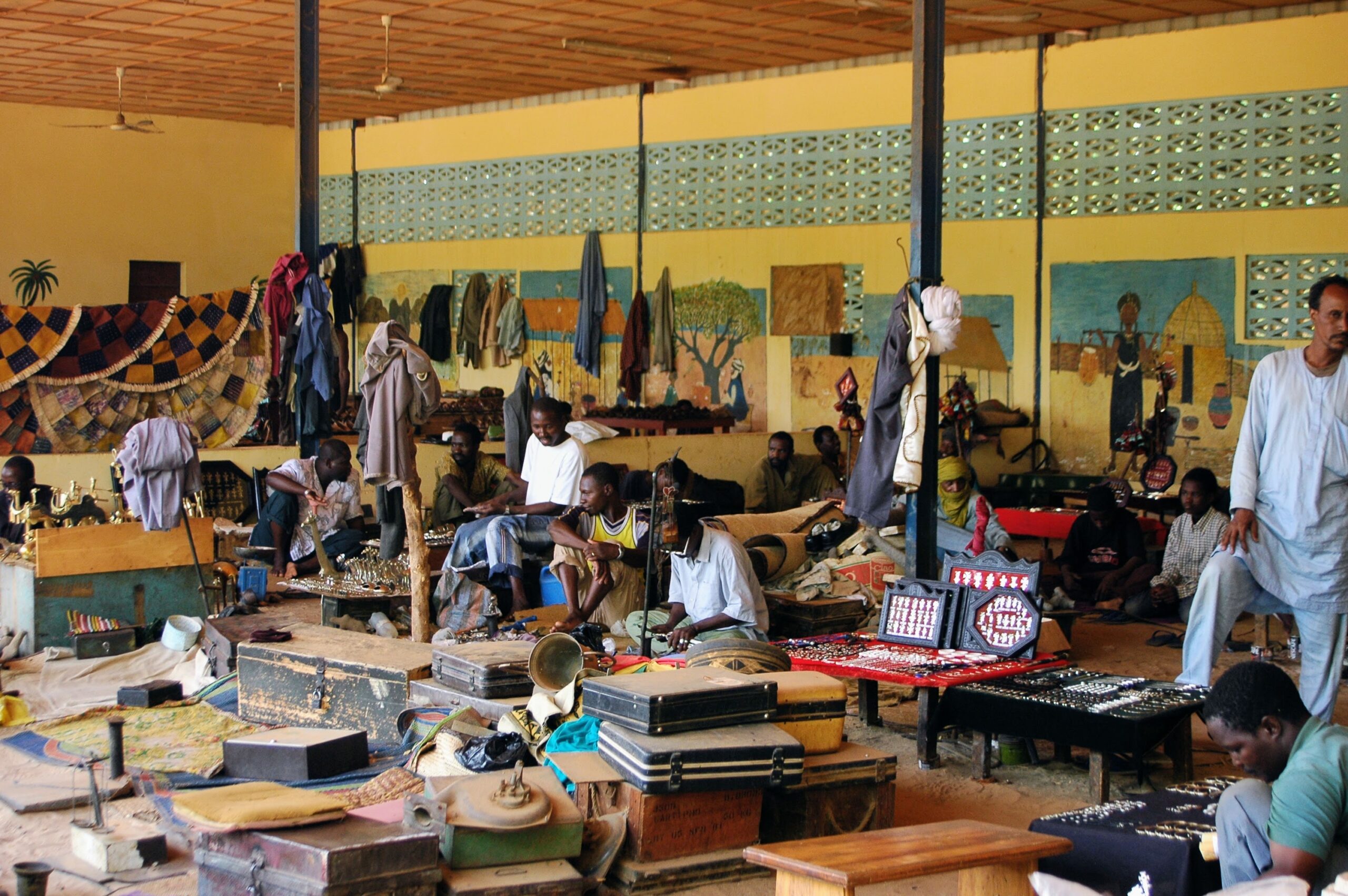
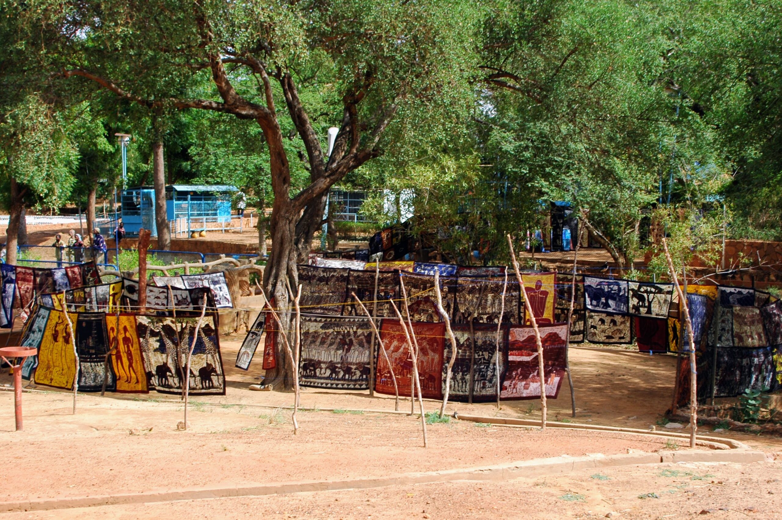
Situated on the River Niger at the gateway to the Sahel, Niamey is the country’s most populous city (1,802,910 inhabitants in 2018). A commercial and industrial hub, Niamey is also a major cultural crossroads where different nationalities rub shoulders.
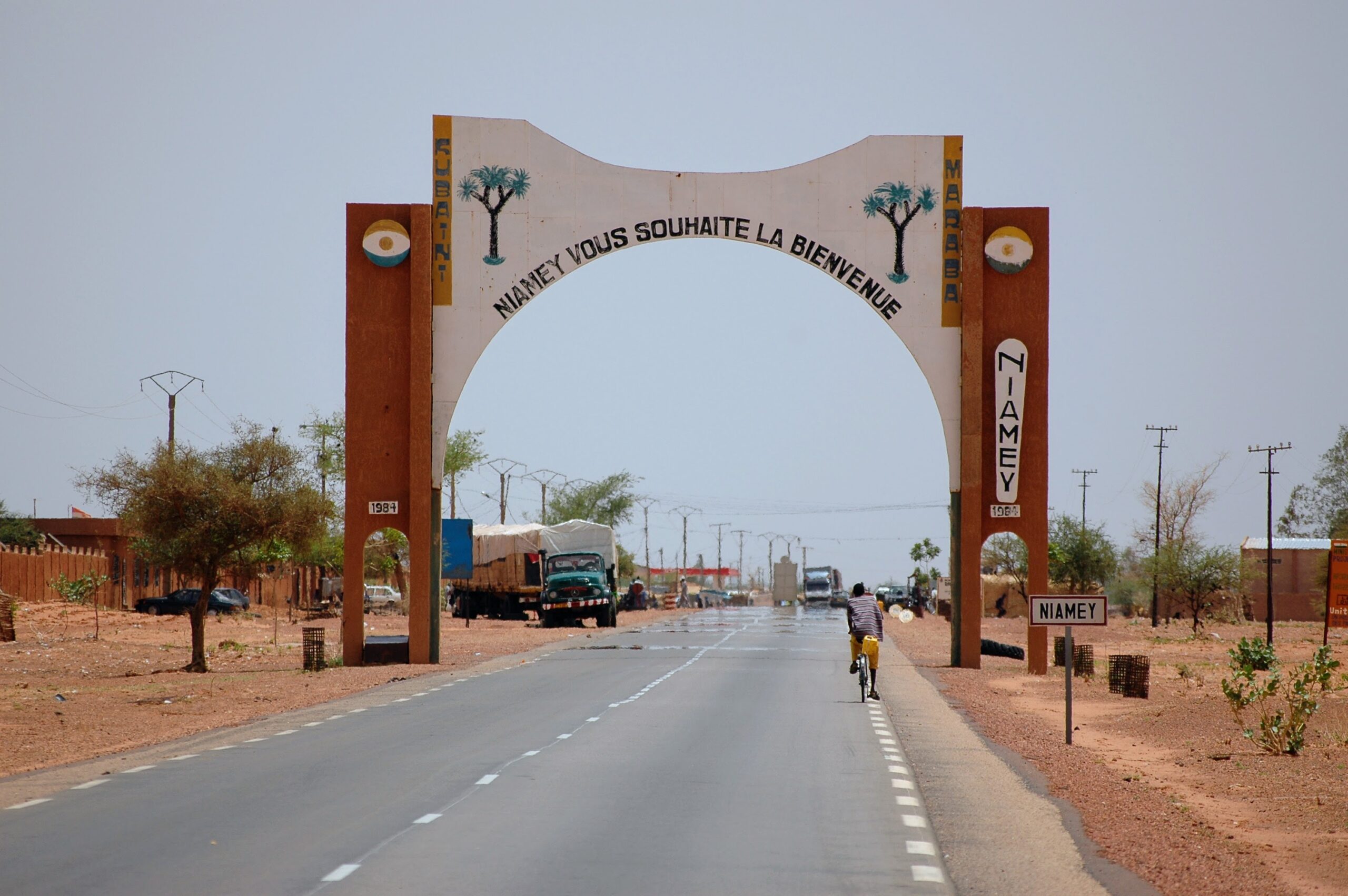
Niamey has developed strongly thanks to its uranium revenues, but it has remained a quiet city, full of charm, far removed from the usual hubbub of African capitals. Its large market, completely rebuilt in 1980 after a fire, is one of the most spectacular in West Africa.
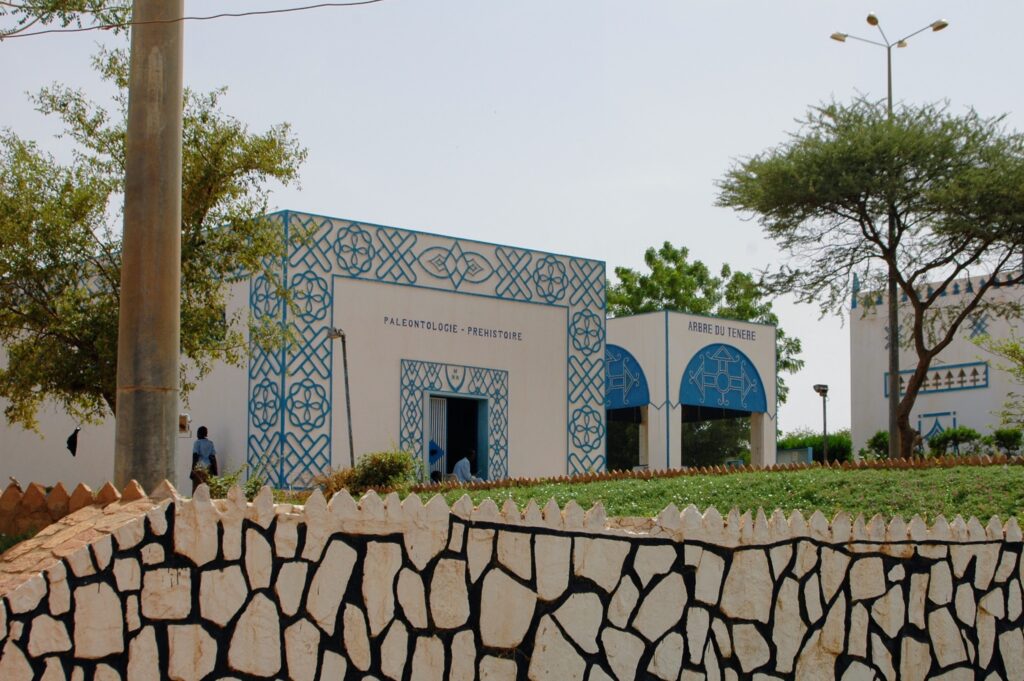
Niamey is home to the Boubou-Hama National Museum. Created in 1959, this open-air, multi-purpose museum features reconstructions of traditional houses, several pavilions displaying ethnographic and archaeological collections, a (rather sad) zoo, a mausoleum of the Ténéré tree and a

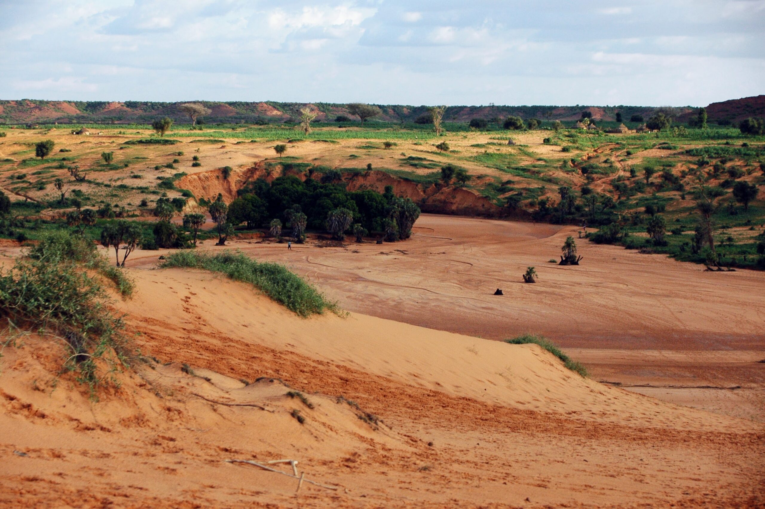
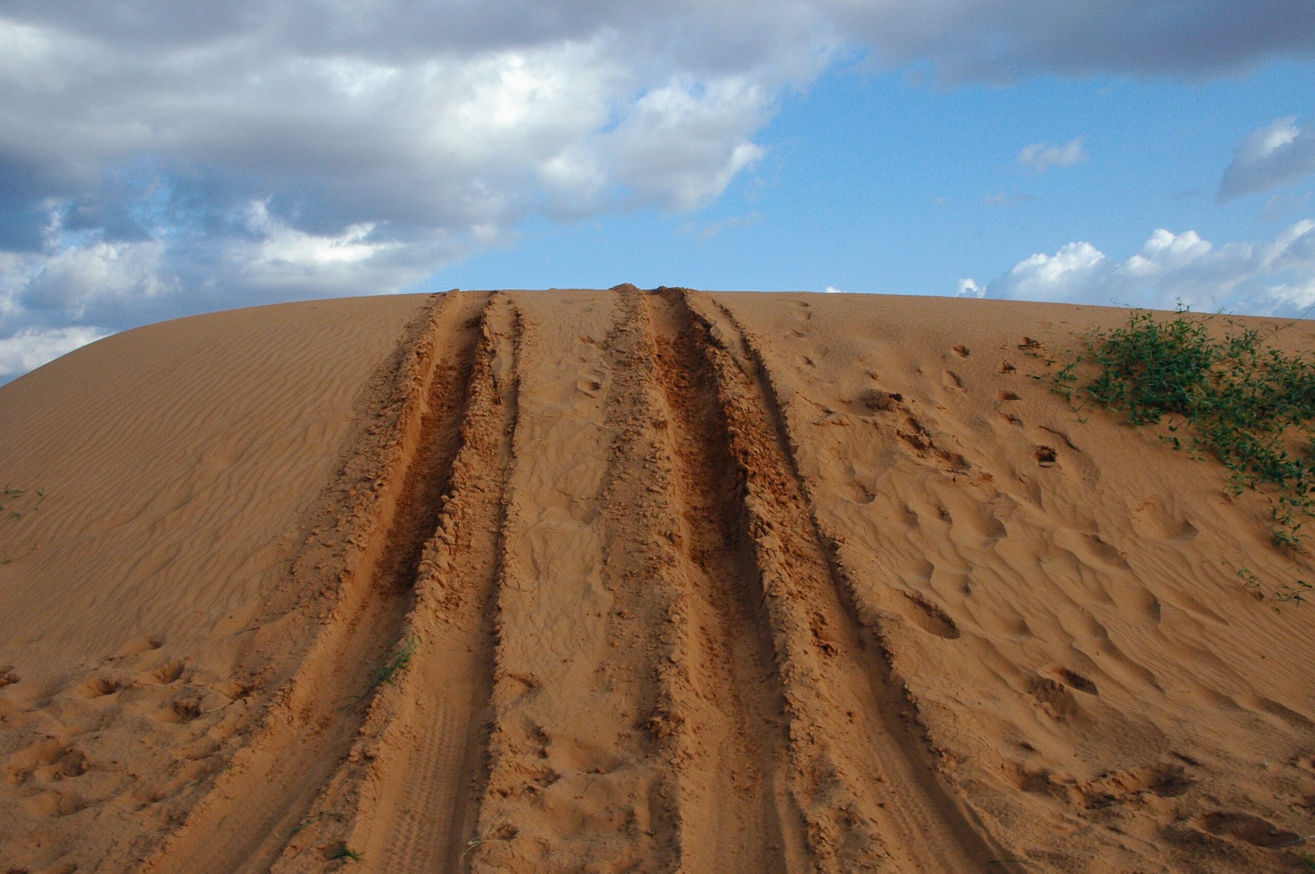
A few kilometers from Niamey, in the direction of Namaro, lie the koris (temporary watercourses) and sand dunes of Kareygorou. A popular spot with Niamey’s population, it invites you to relax for a picnic or an aperitif at the top of the dunes…
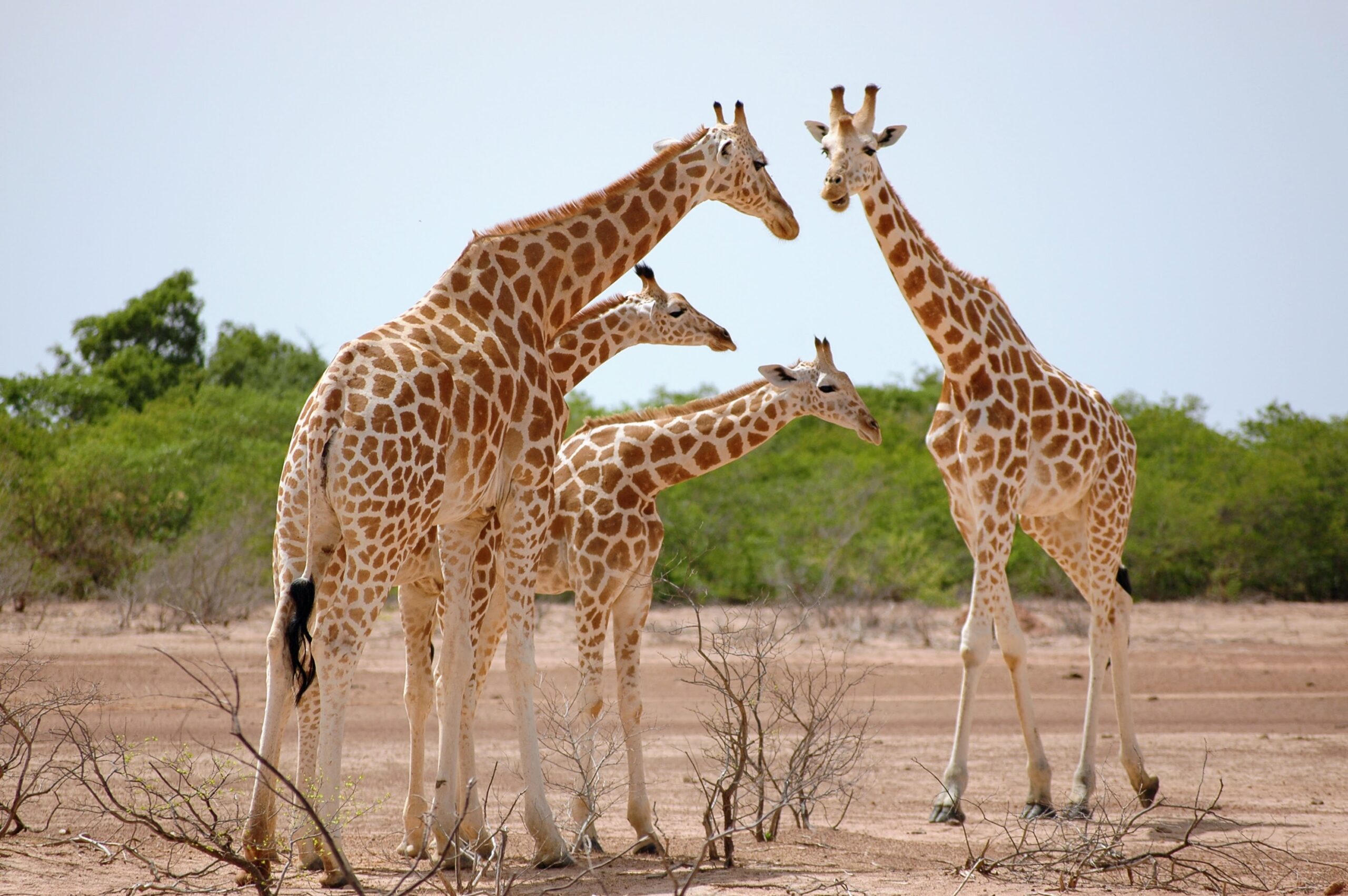
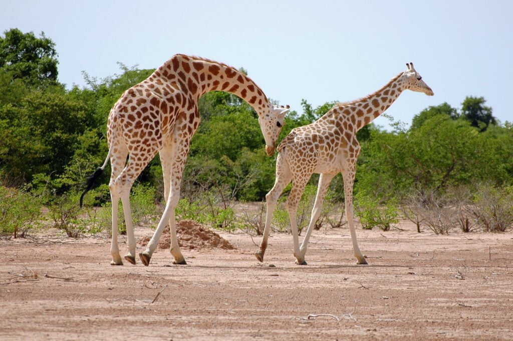
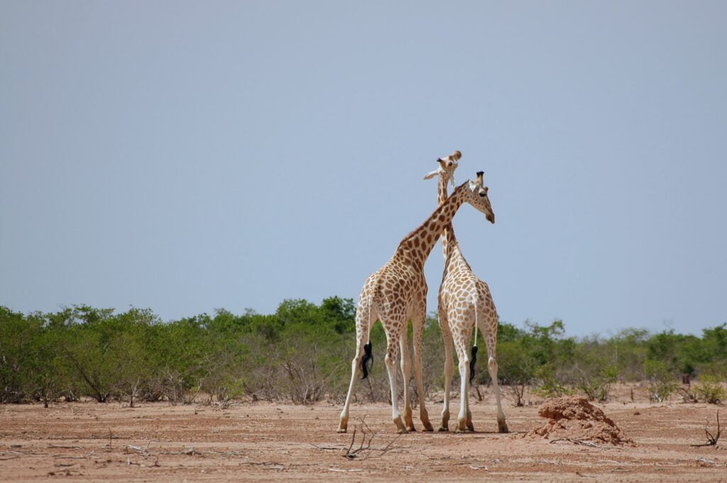
Kouré, meeting West Africa’s last giraffes
Fifty kilometers east of Niamey, towards Dosso, the Kouré Giraffe Reserve is the last refuge of an endemic species, the Giraffa camelopardalis peralta.
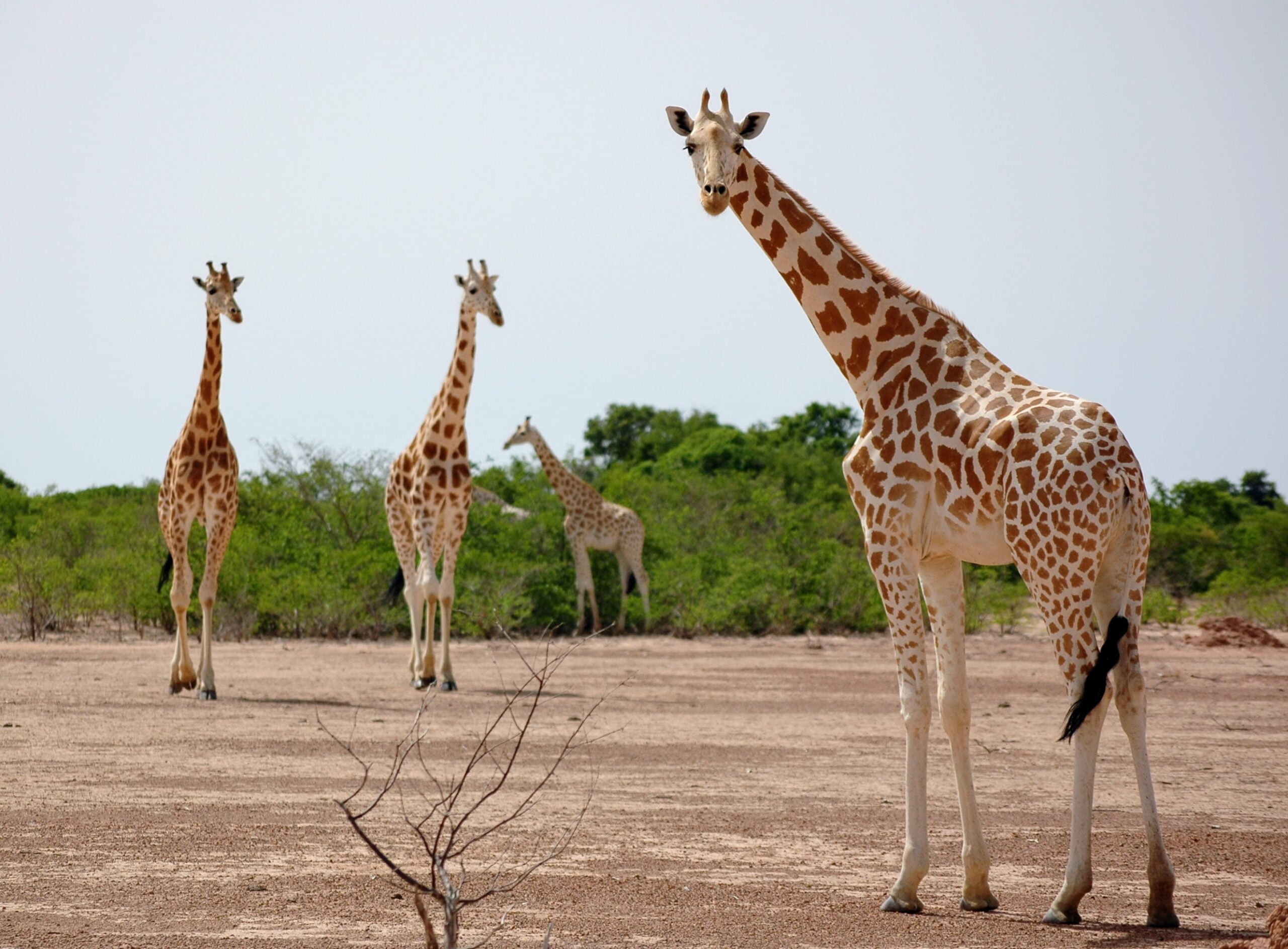
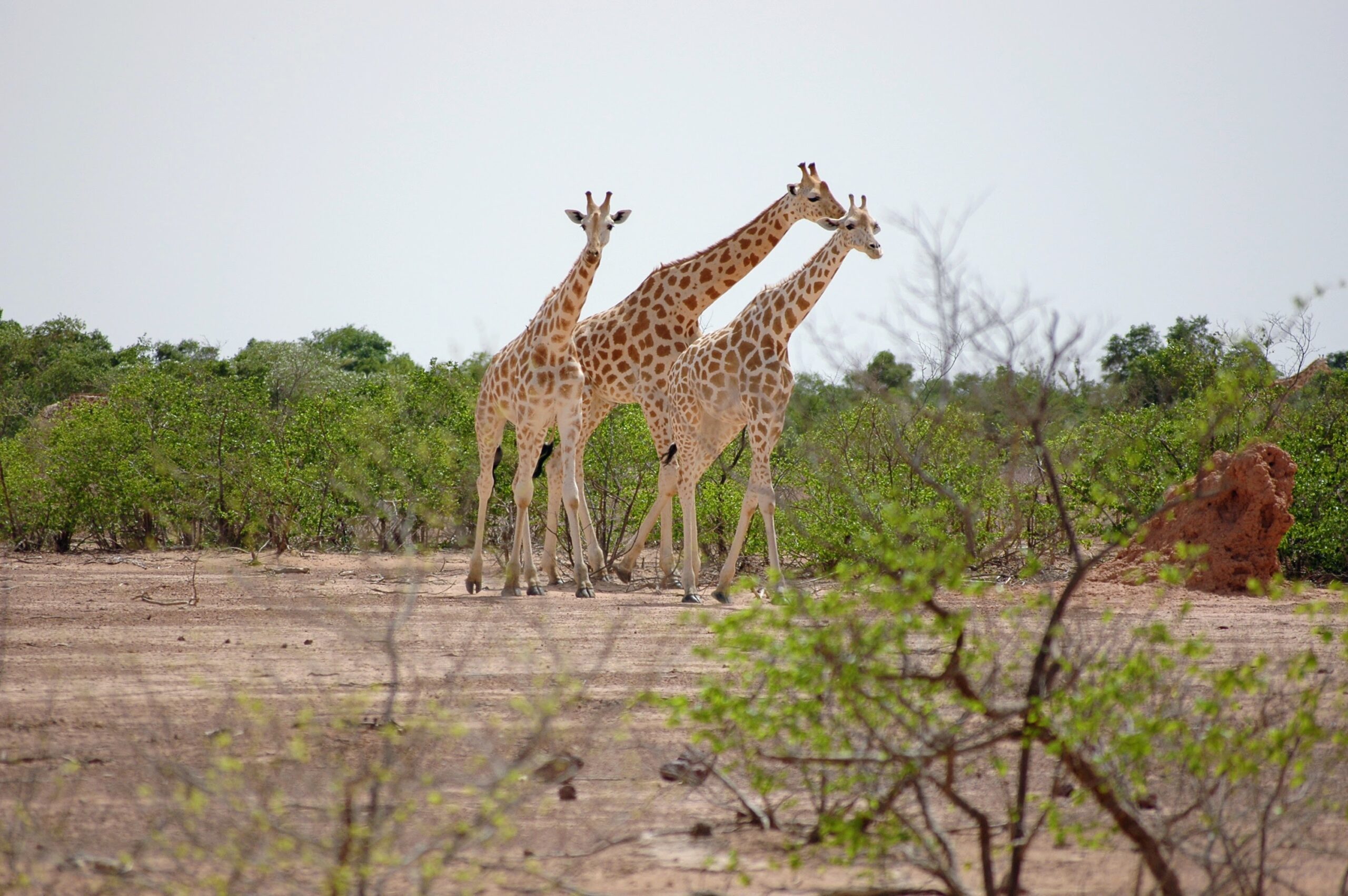
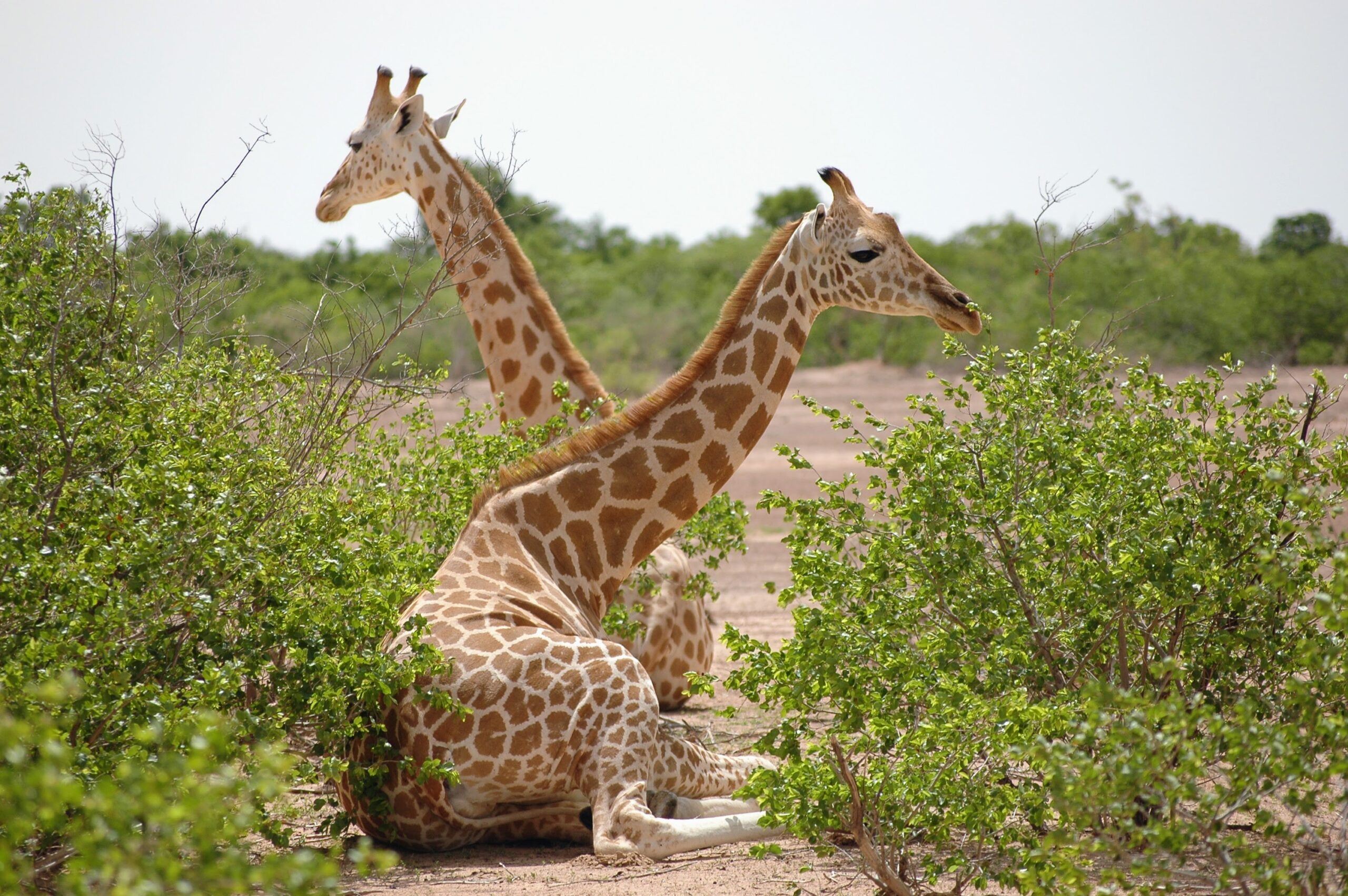
Once widespread between Senegal and Niger, these light-spotted, almost white giraffes are fleeing poachers and predators to find refuge in the Kouré bush. The human-giraffe cohabitation is proving difficult. In a region where the majority of the population lives below the poverty line, it is unacceptable for giraffes to trample crops in search of fruit and foliage. By 1996, only 49 giraffes remained.
Since 2001, theAssociation pour la Sauvegarde des Girafes du Niger (ASGN) has been working with local populations to encourage them to consider the giraffe as a heritage and resource to be preserved. From 49 in 1996, this will rise to 600 giraffes in 2017, then 904 giraffes in 2021.
But the advance of the desert, the conquest of new farmland and terrorist attacks have forced some of Kouré’s giraffes to relocate to the Maradi region.
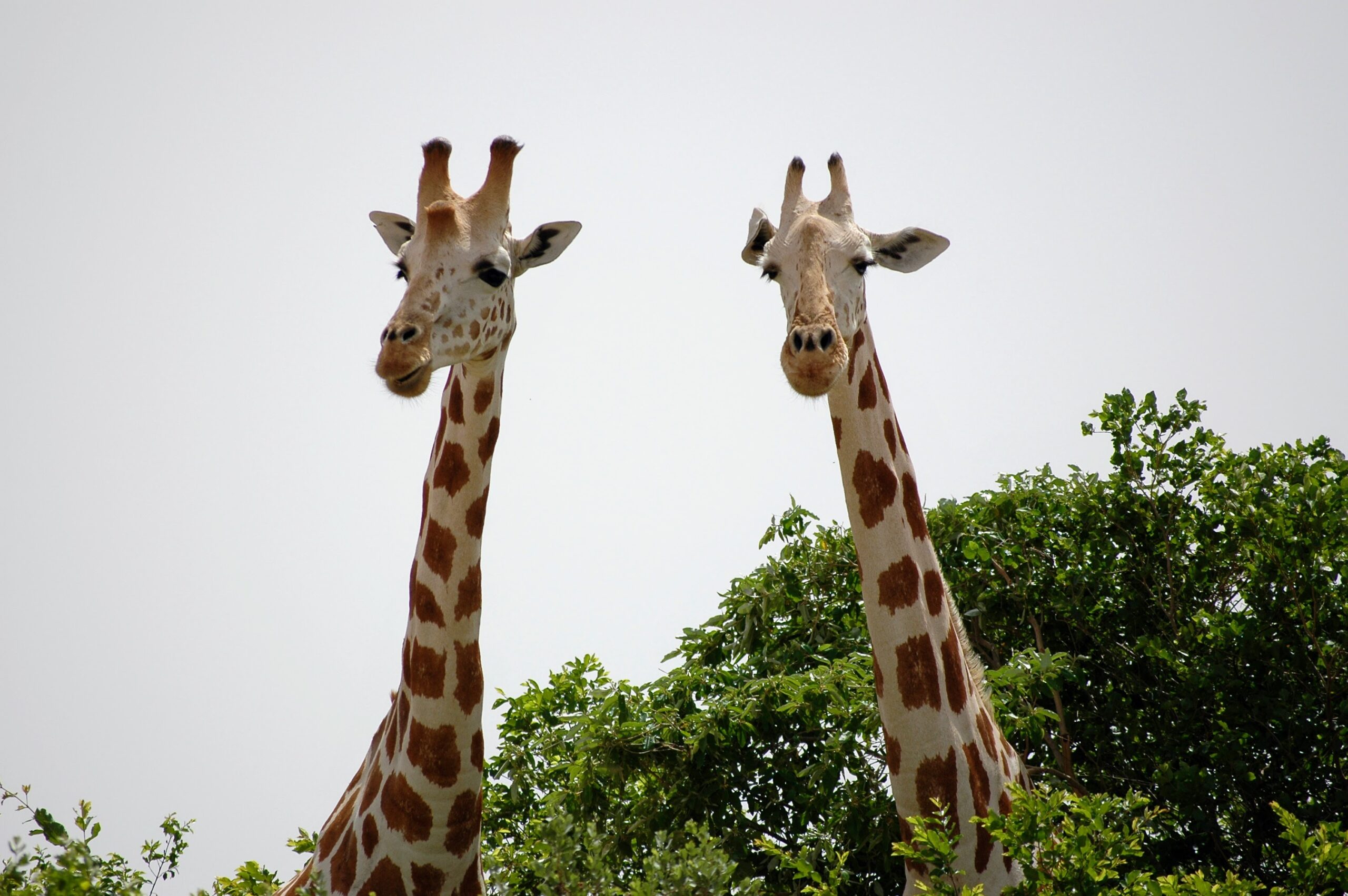
Encountering the giraffes of Kouré is an unforgettable experience. Watching groups of giraffes evolve peacefully, and being able to get within a few meters of them, is a fascinating sight.
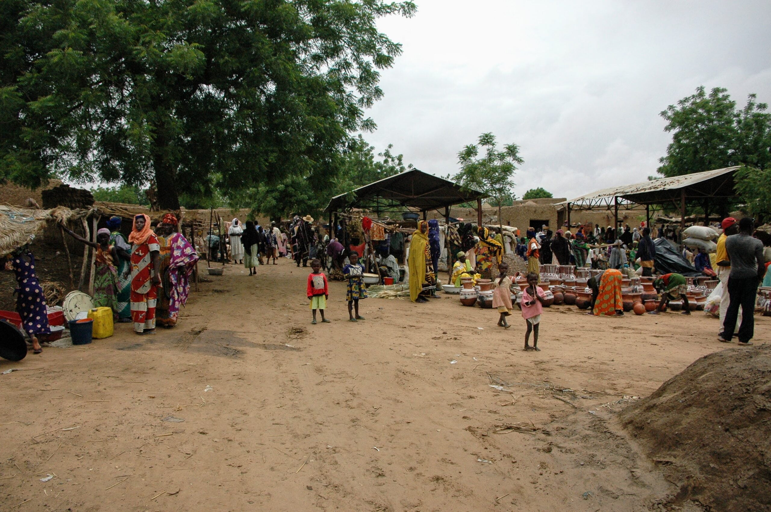
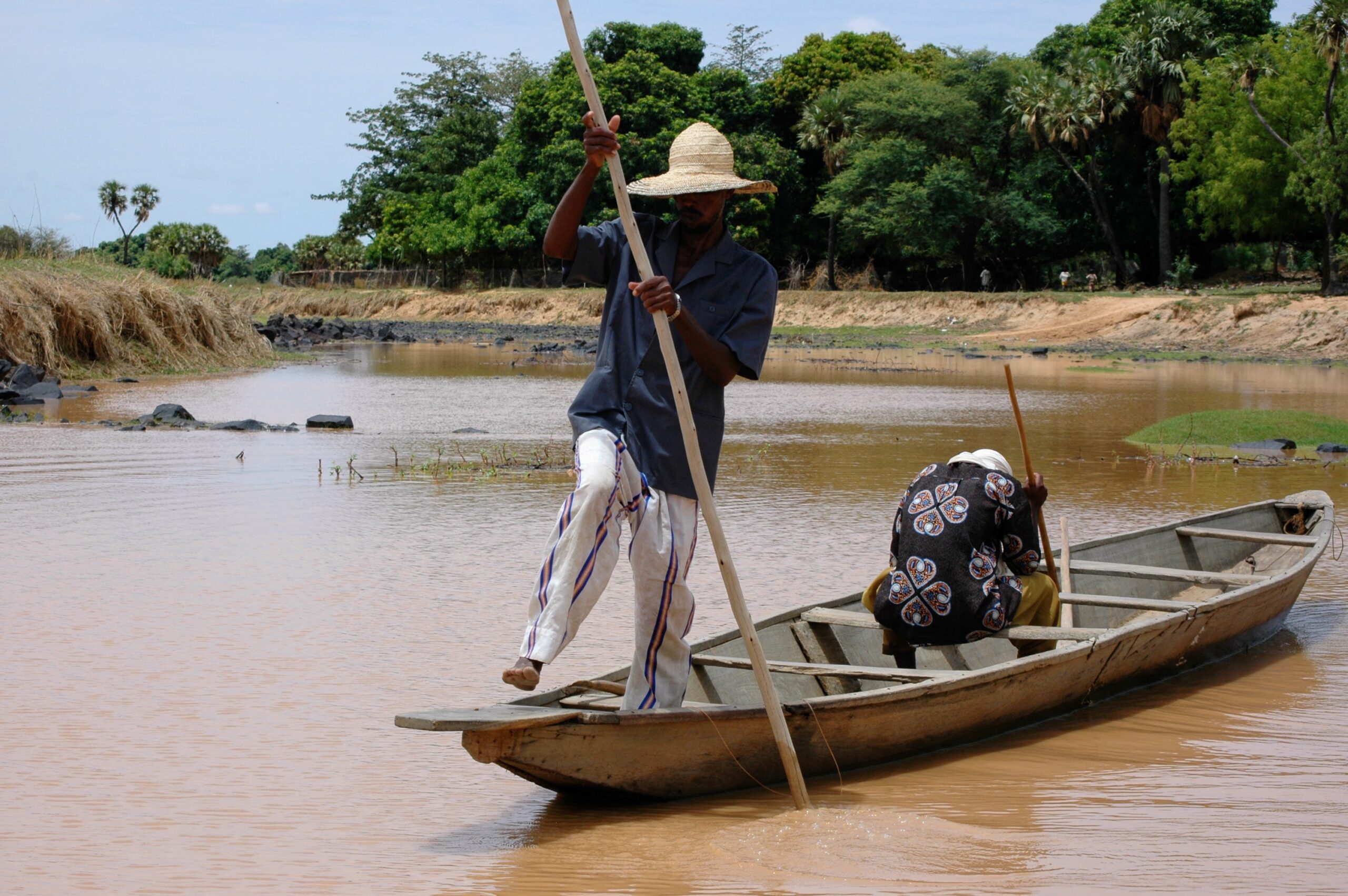
Boubon, on foot or by pirogue
Located 25 kilometers from Niamey, on the road to Tillabéri, Boubon is a picturesque village renowned for its hand-decorated terracotta pottery. Every Wednesday, people flock to the market to barter with local residents or buy meat at a lower price.
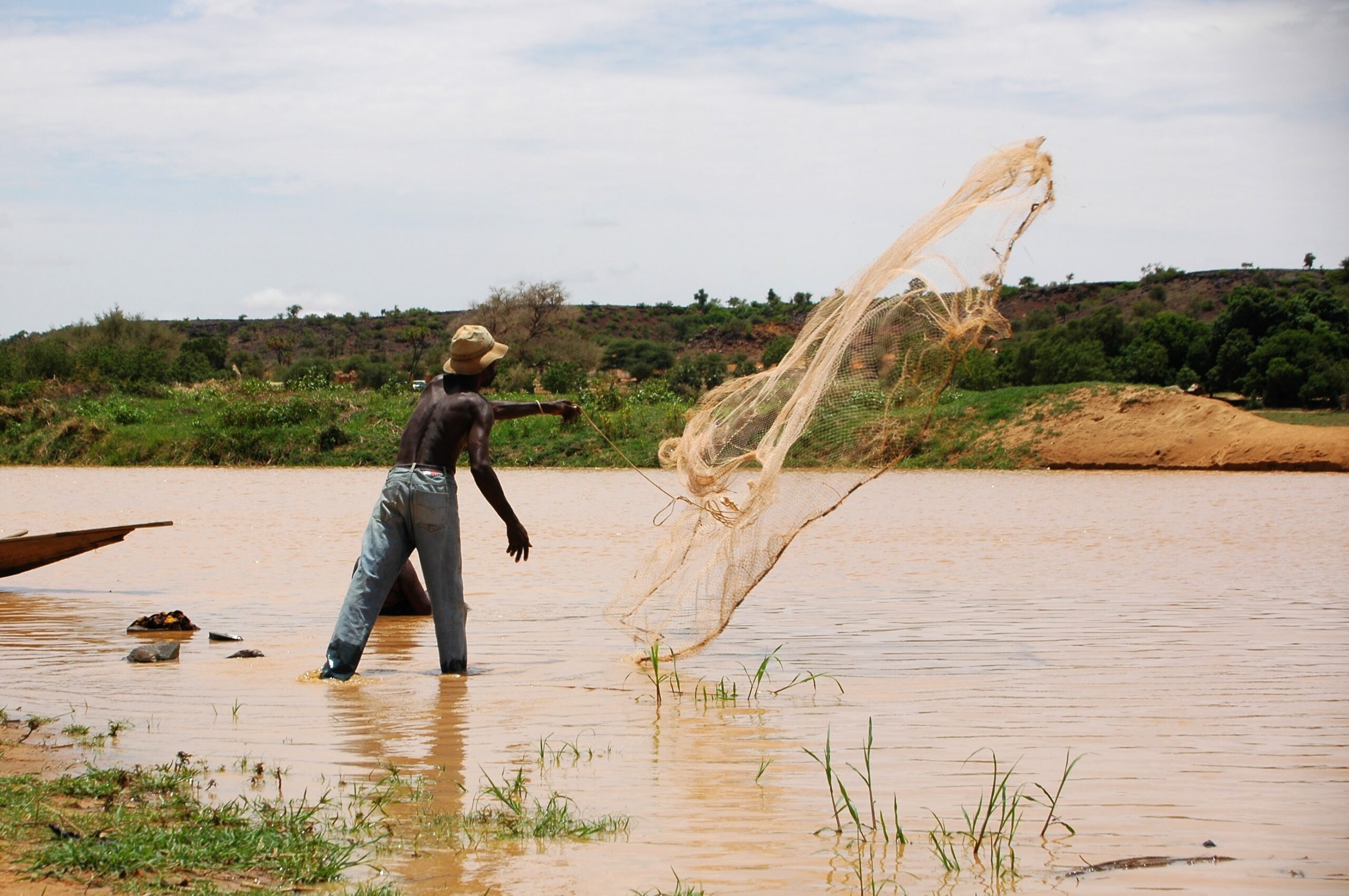
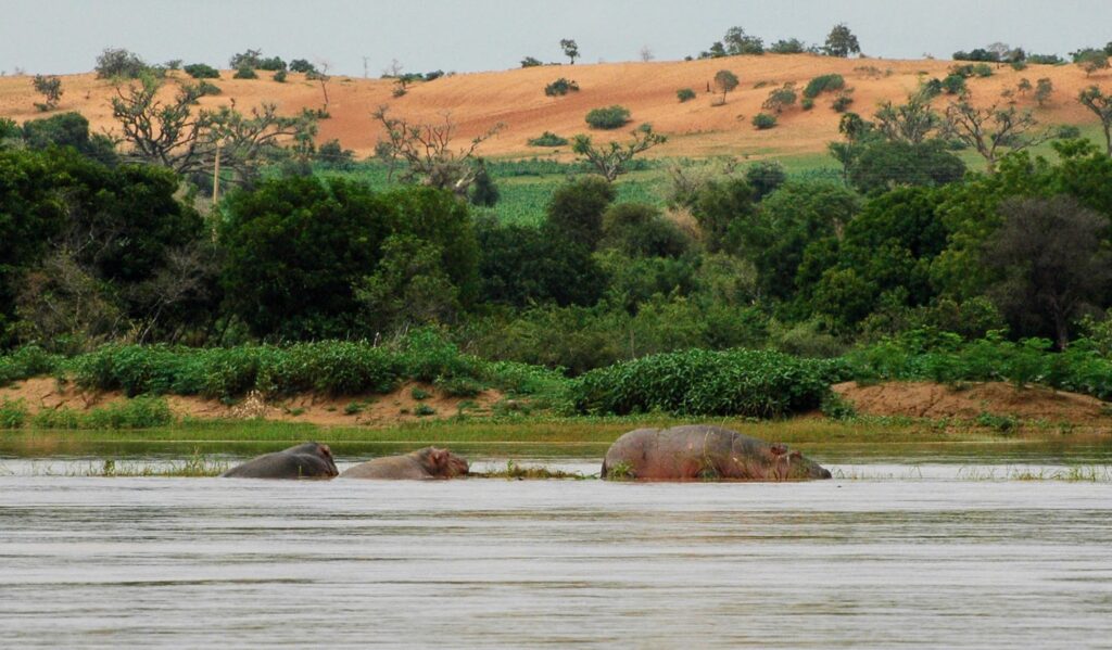
A visit to Boubon is also an opportunity to take advantage of the pirogues parked alongside the river to get another look at the activities of the local fishermen.
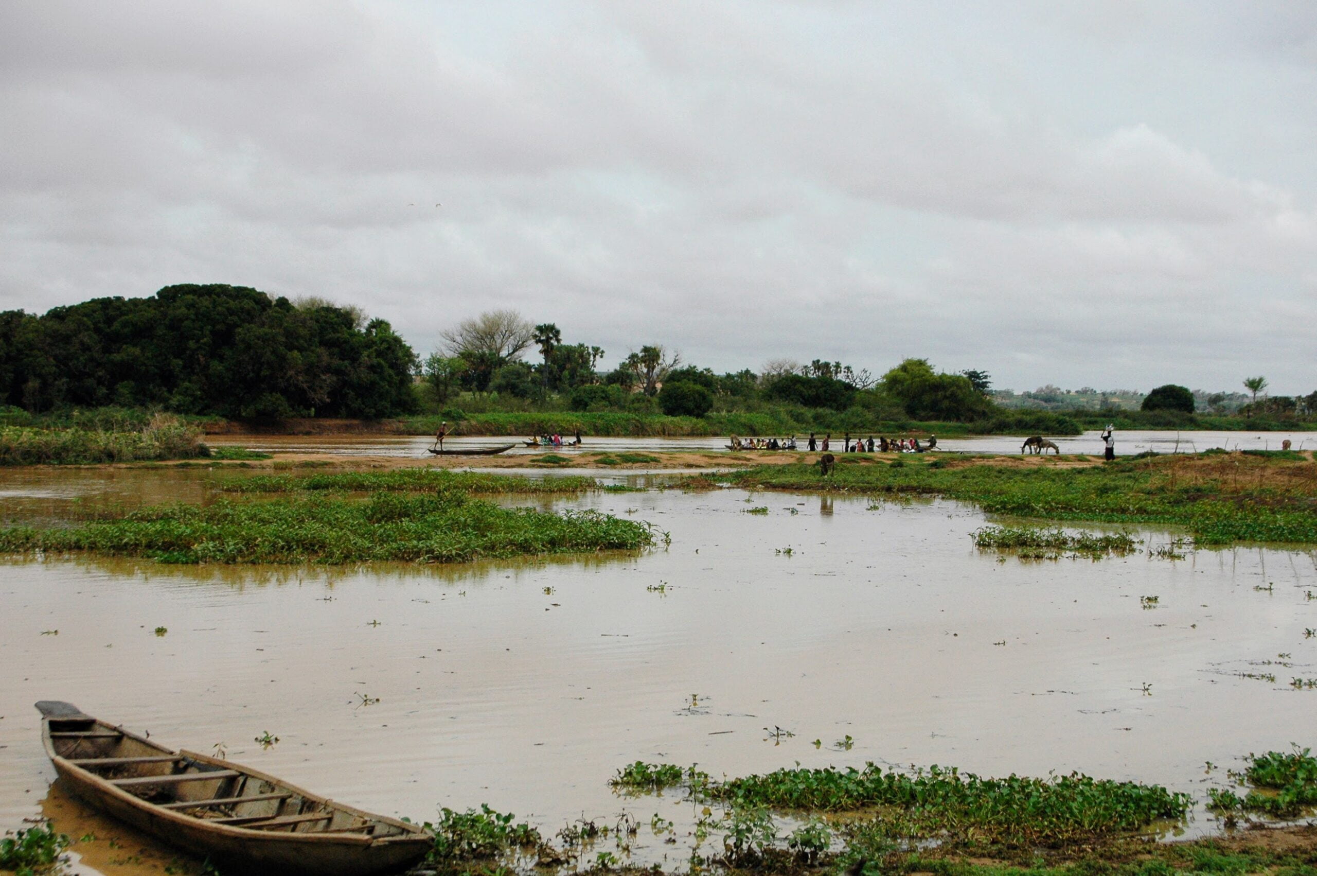

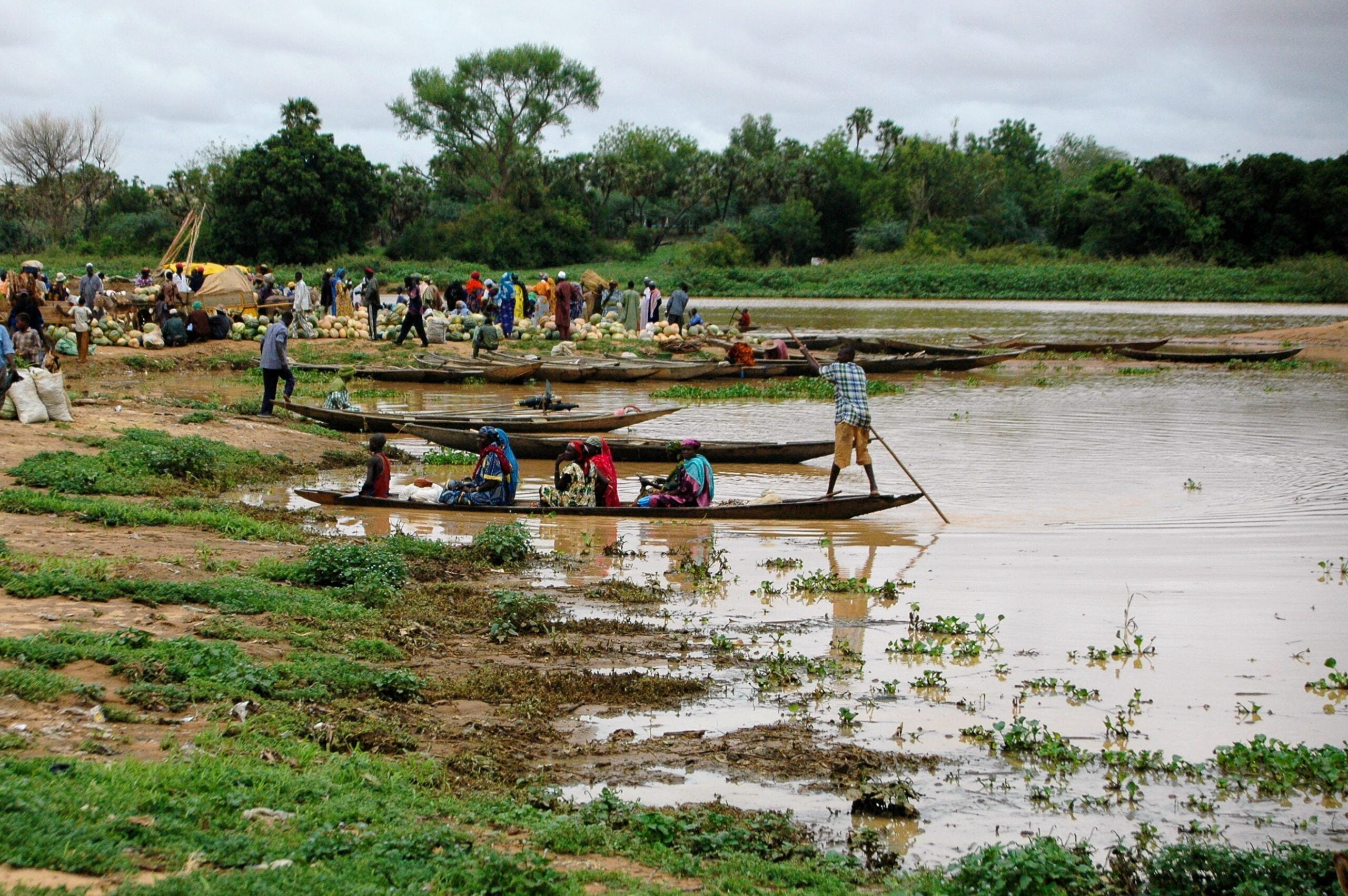
In the distance, nothing seems to disturb a group of sleeping hippos. Beware, their reactions are as violent as they are unpredictable.
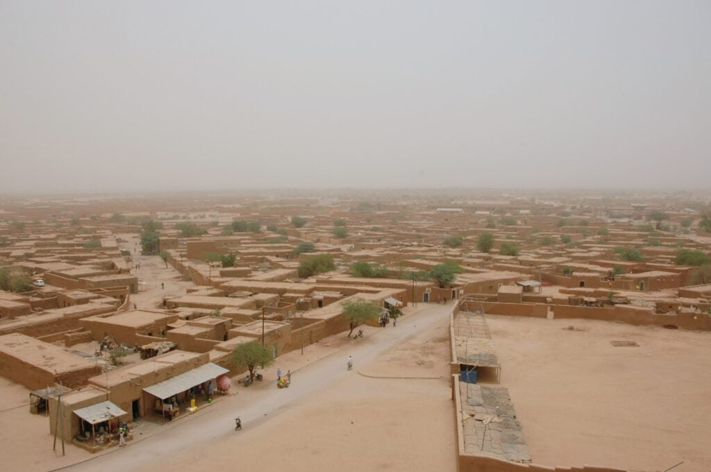
Agadez, the forgotten pearl of the desert
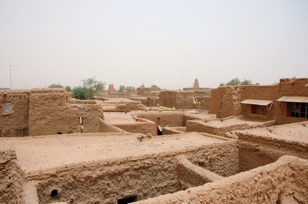
900 kilometers northeast of Niamey, Agadez is at the crossroads of Black Africa and the Maghreb. An ancient caravan city and major crossroads of trans-Saharan trade, the “Gateway to the Ténéré” has enjoyed its golden age over the last ten centuries. Classified as a high-risk zone due to terrorist threats and migratory crises that scare tourists away, it is now falling into oblivion…
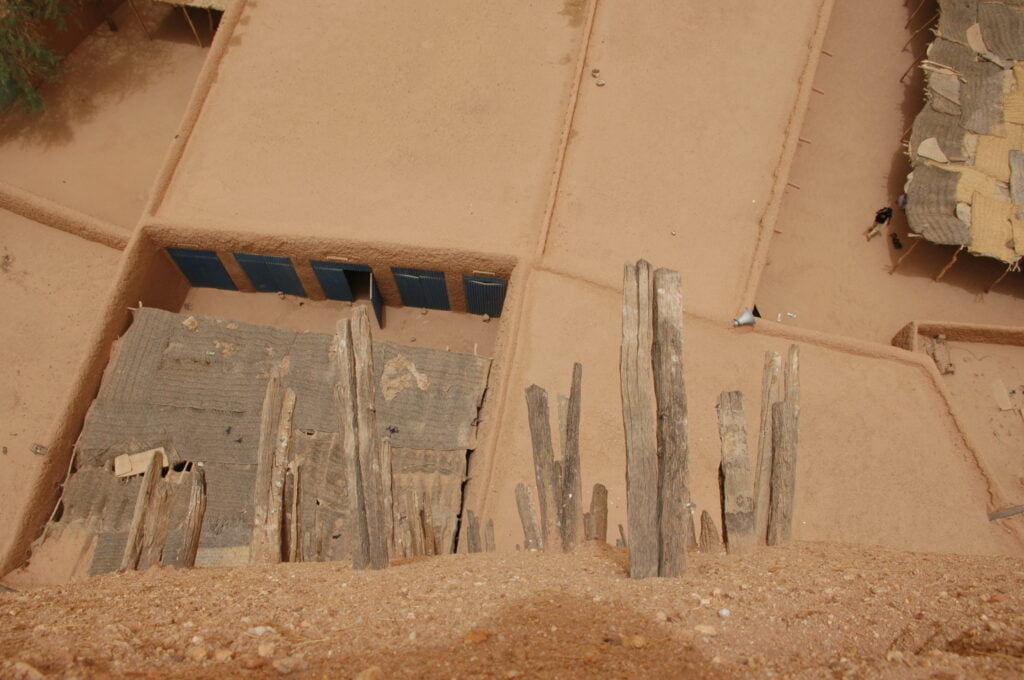
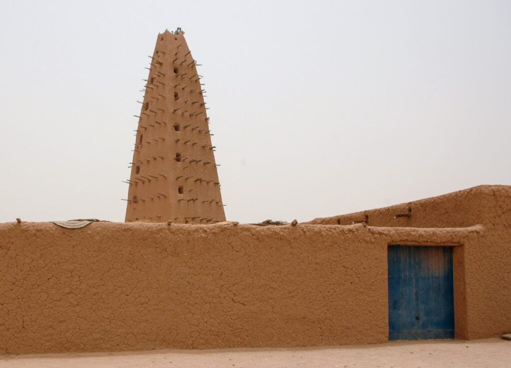
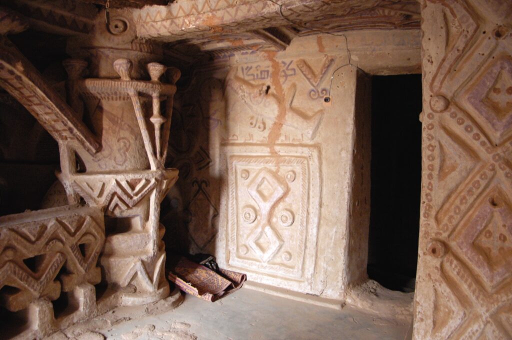
Listed as a UNESCO World Heritage Site in 2013, Agadez boasts perfectly preserved Sudanese architecture, with ochre-colored banco (sun-dried earth) houses and a magnificent mosque built in 1515. Its minaret, bristling with palm-tree stakes, stands 27 metres high.
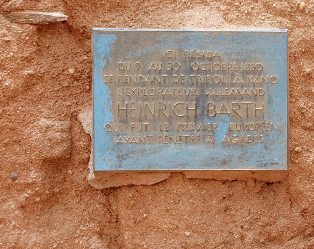
In the Imourdan district, you can still visit the house where Heinrich Barth lived. This German explorer nearly lost his life when he crossed the Sahara into Sudan in 1850. In the Aïr mountains, he studied the Tuareg populations before becoming the first Christian to visit Agadez.
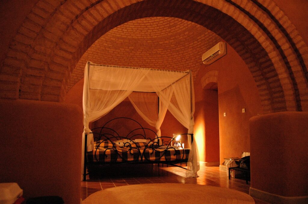
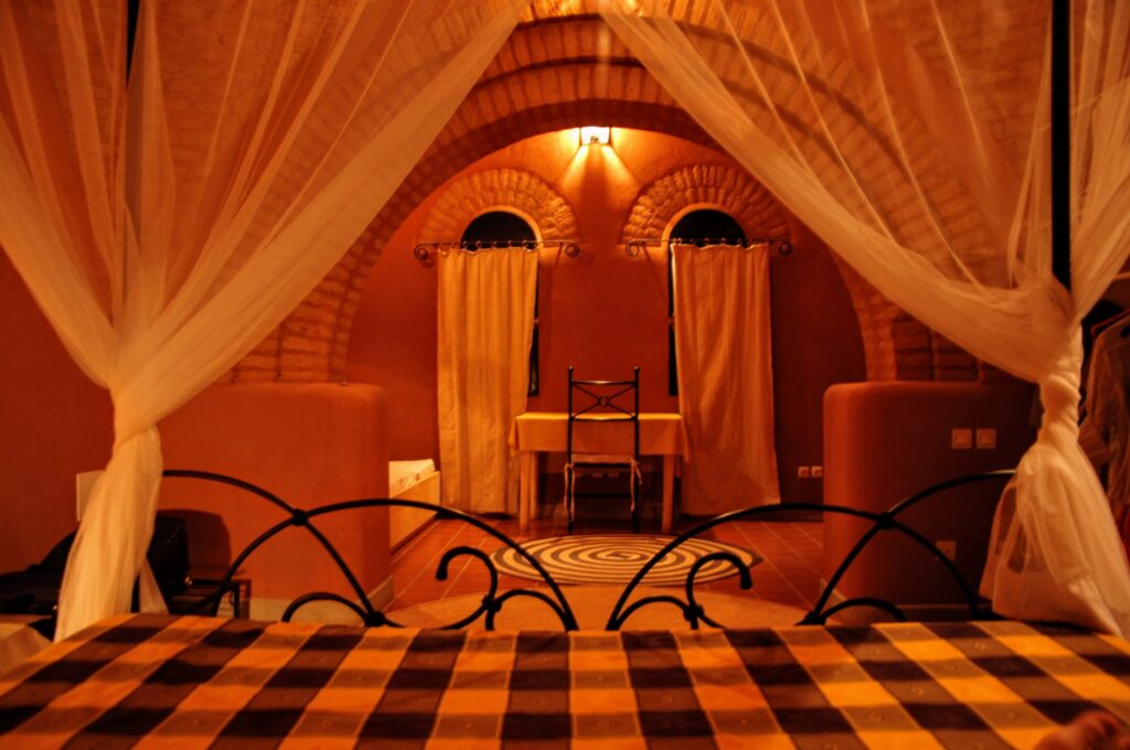
Where to stay in Agadez? TheAuberge d’Azel offers beautiful air-conditioned rooms with ochre clay vaults (61€/night for a double room). The setting is well-kept and the garden full of flowers.
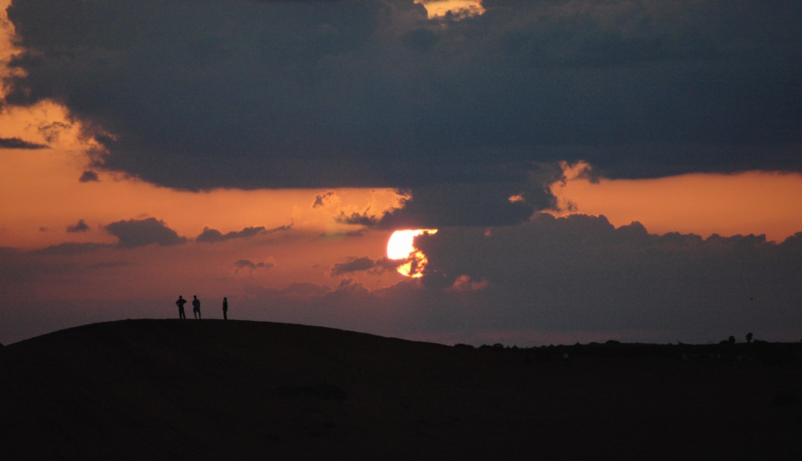
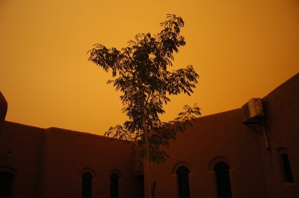
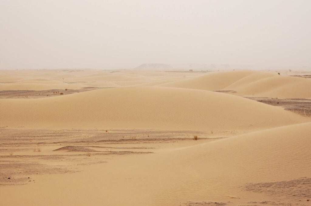
With the appearance of a sand wind in the middle of the day, the atmosphere becomes surreal.
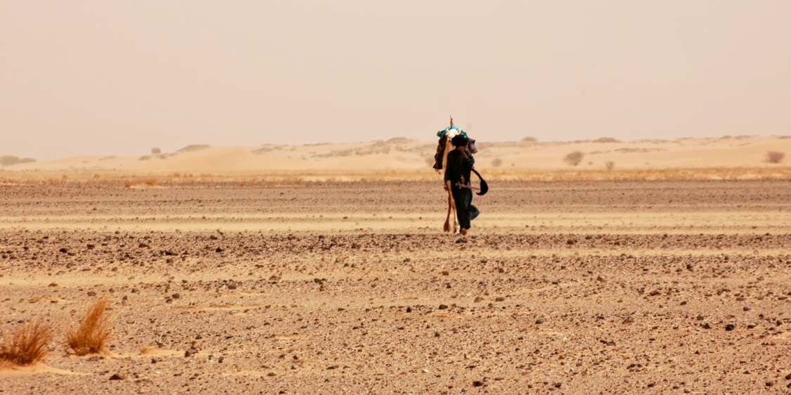
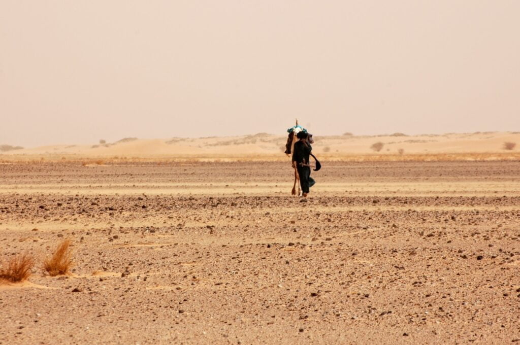
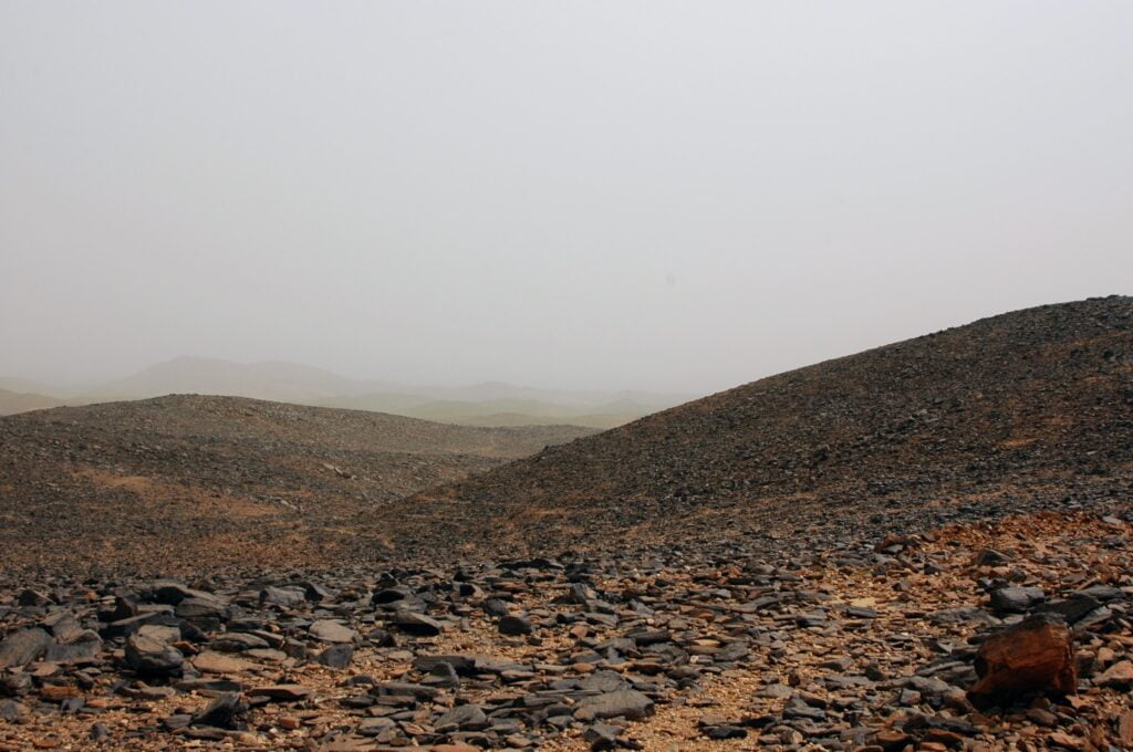
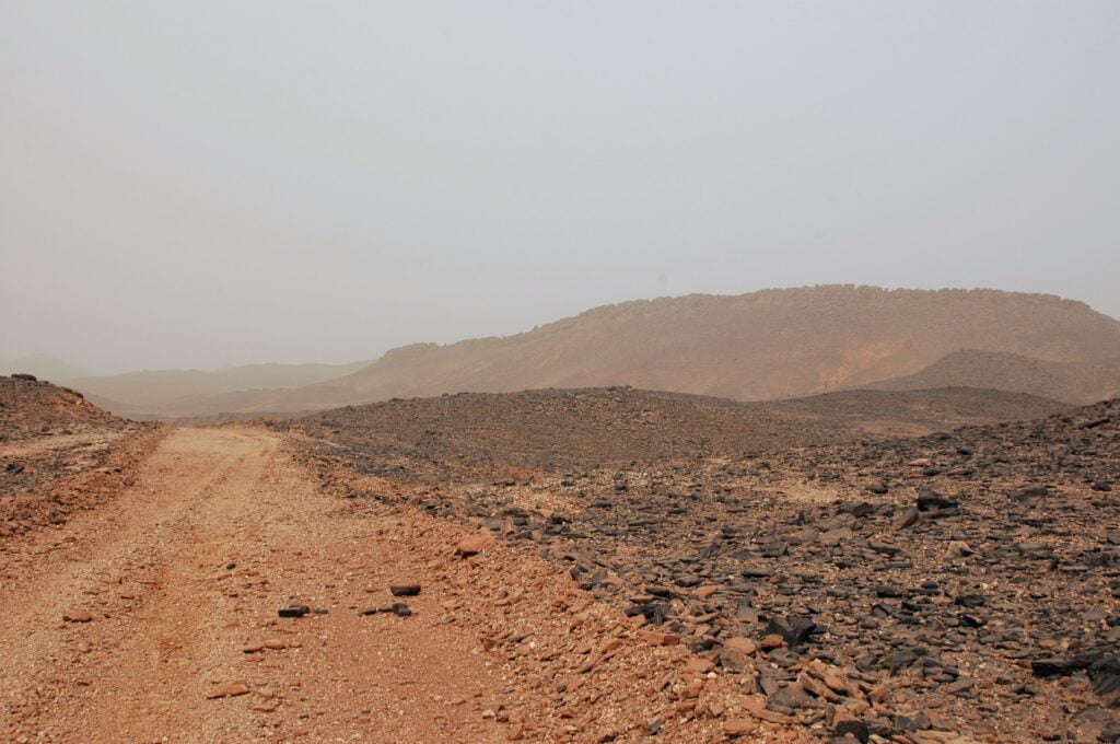
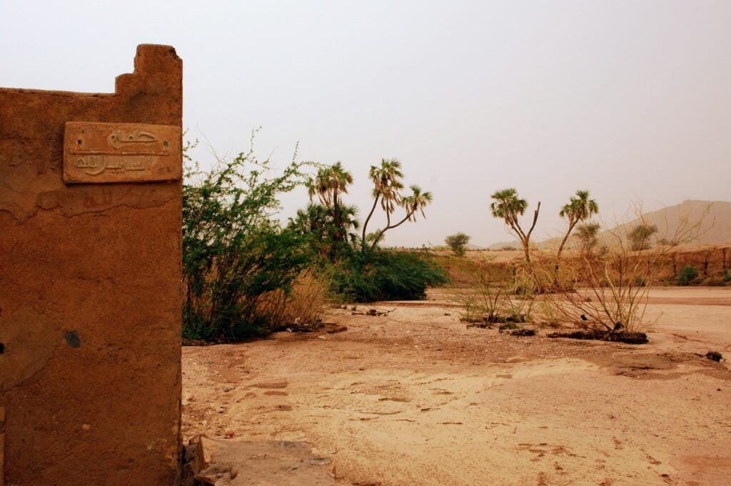
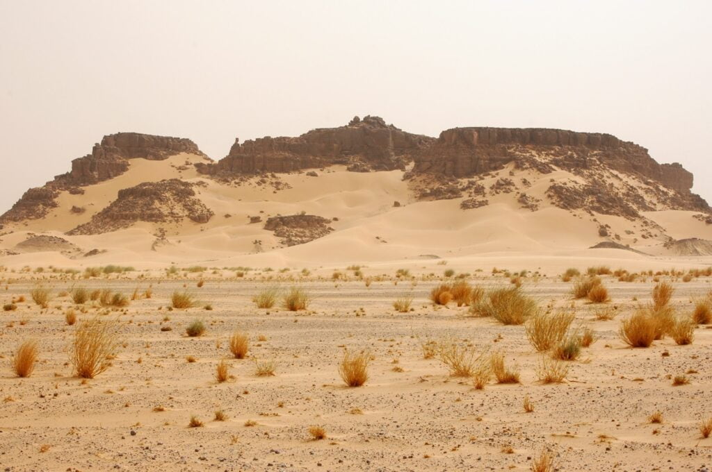
The Aïr massif, land of the Tuaregs
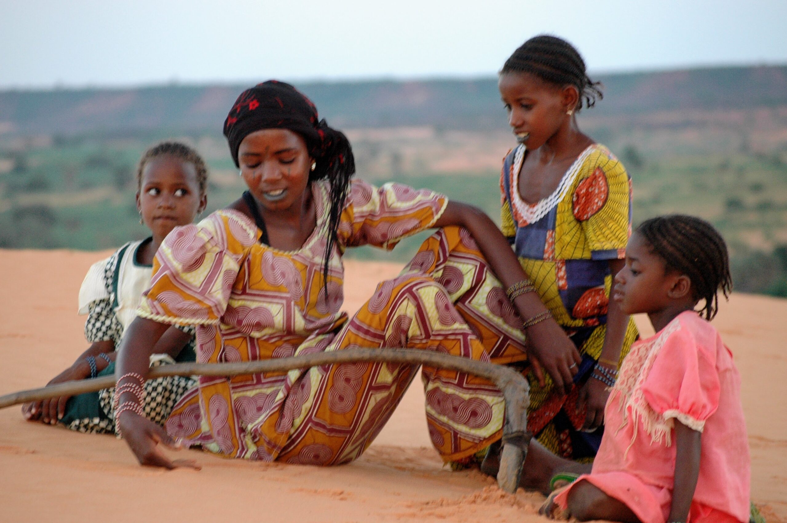
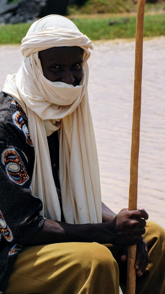
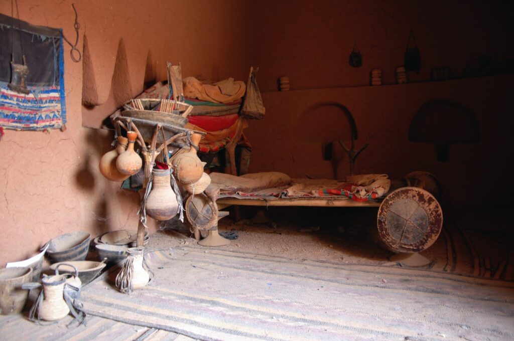
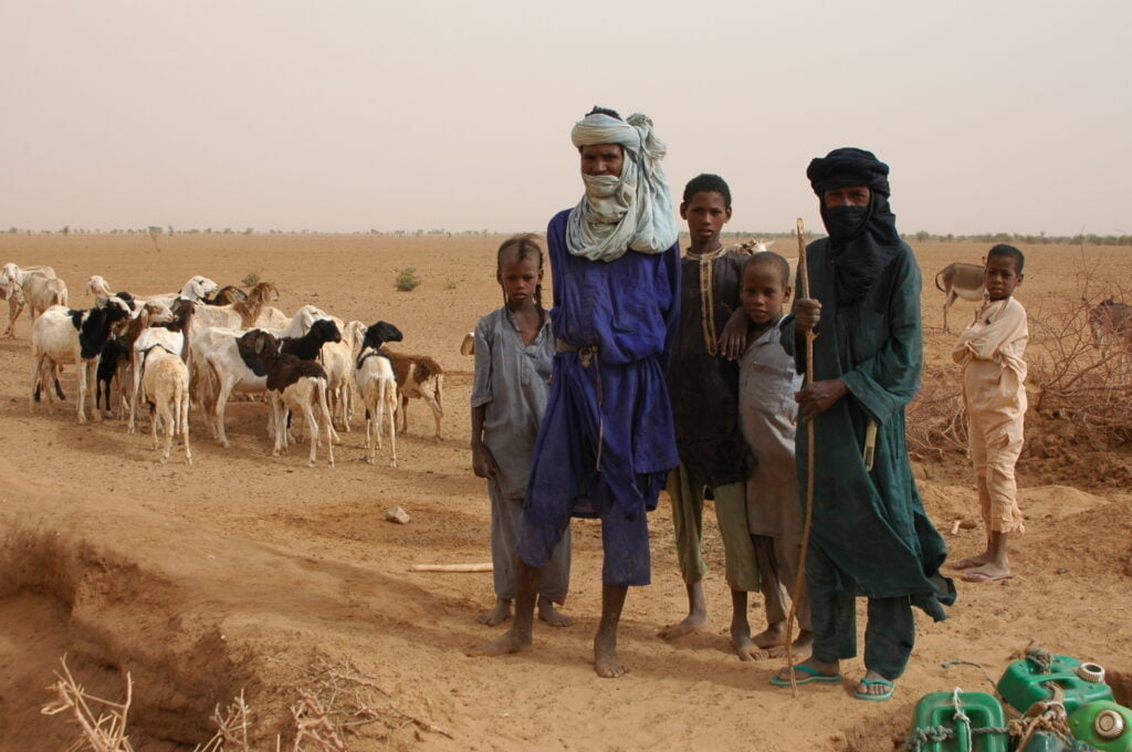
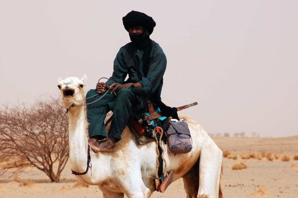
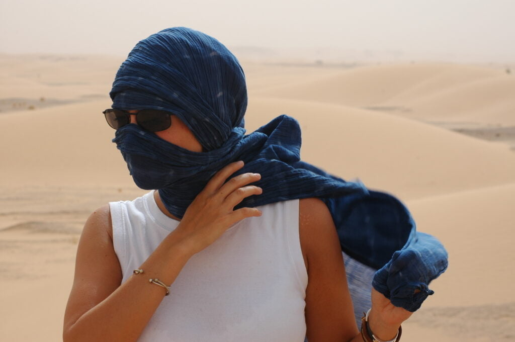
Nestled on the edge of the Sahara desert, the Aïr massif is home to the Tuareg people. Often called the “blue men”, the Tuareg refer to themselves as “Kel Tamajeq” (those of the Tamajeq language), “imouzagh” (a term used to designate “free men”) or “Kel Tagelmust” (those of the tagelmust, in reference to the chèche worn on the men’s heads).
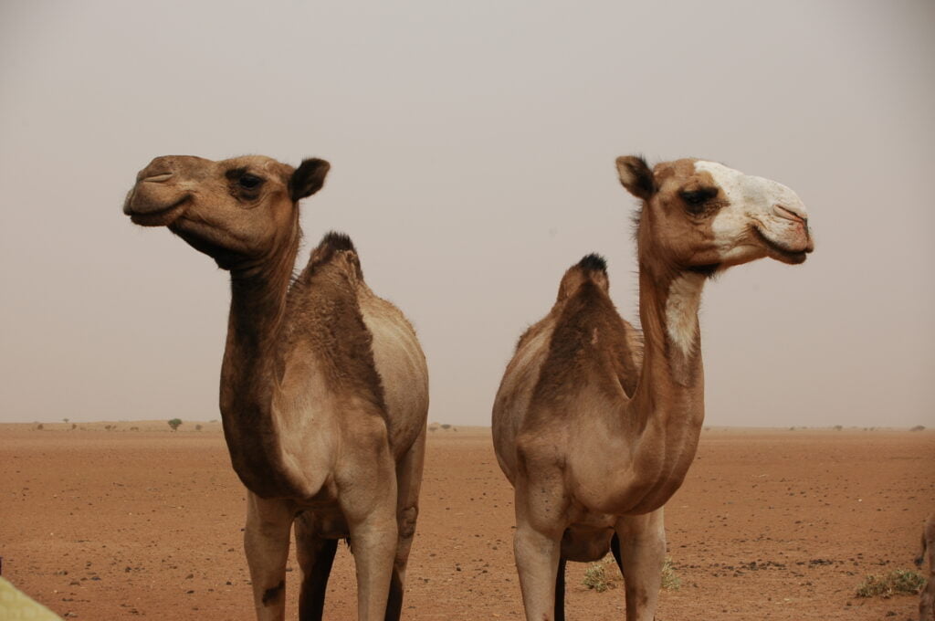
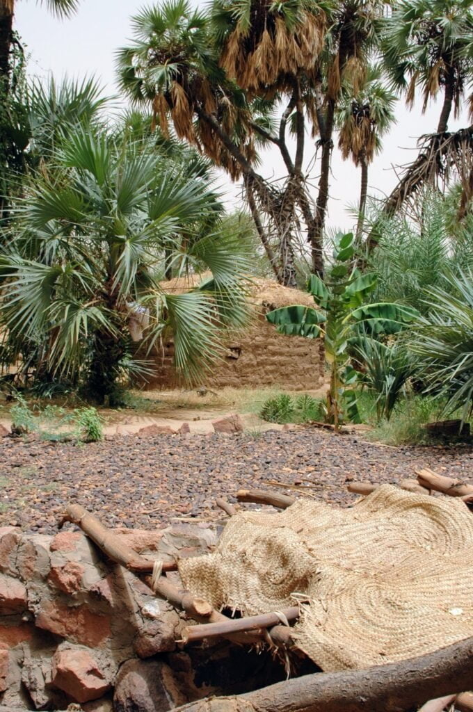
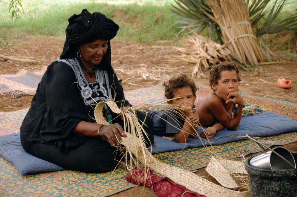
Divided into several confederations and tribes, the Tuareg population is made up of nomadic pastoralists. They live off the milk, meat and hides provided by their goats and camels. Some, however, have become sedentary, due in part to a form of acculturation and economic and political marginalization that drove them into conflict in the 1990s. Unfortunately, the Touareg rebellion of 2007-2009 put an end to the region’s tourism industry.
400 kilometers long and 250 kilometers wide, the Aïr massif is a vast flat plateau dotted with isolated granite peaks.

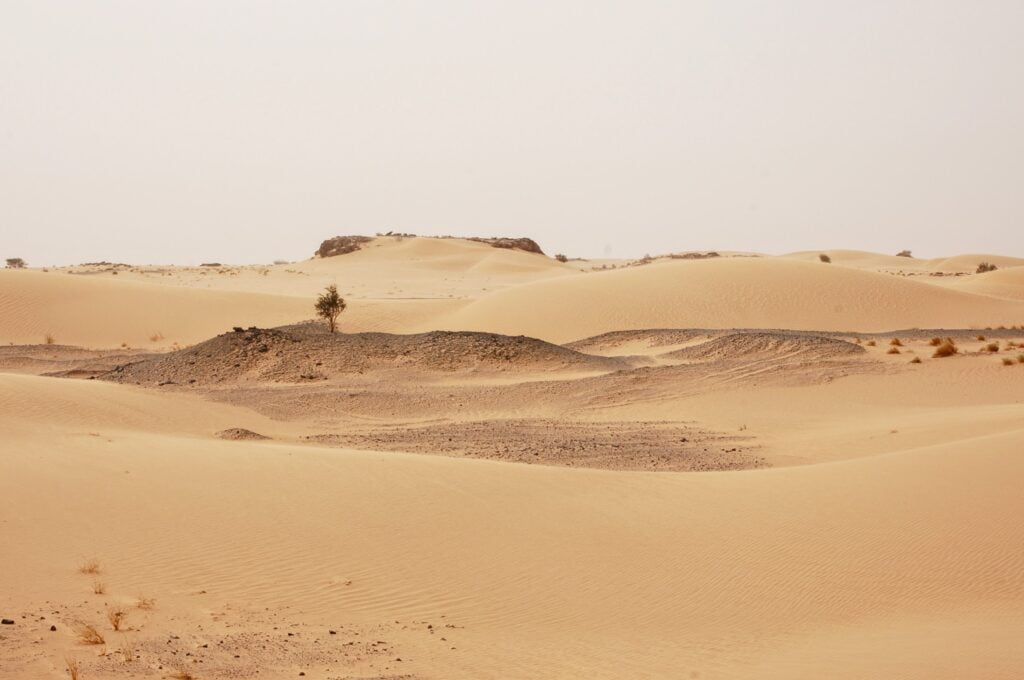
Inscribed on UNESCO’s World Heritage List in 1991 as the“Aïr and Ténéré Nature Reserve“, the Aïr massif is Africa’s largest protected area (24 million hectares). This island of Sahelian flora and fauna, lost in the Sahara desert, offers a contrasting landscape of volcanic mountains crossed by koris and verdant oases.
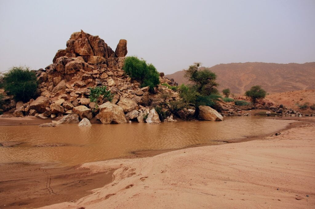
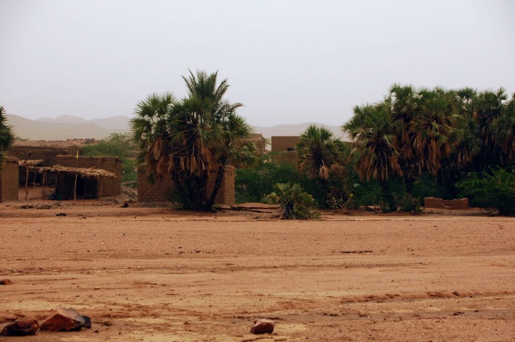
We eat dates in the shade of palm trees. You can watch a woman plaiting braids and baskets. If she’s dressed in black, it means she’s married. Behind her, we discover the dwelling of the settled Tuaregs, made of a frame of dead wood covered with mats tied together to better resist the desert winds.
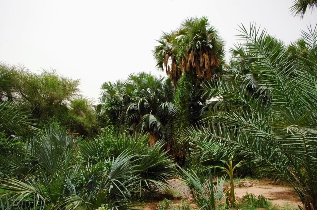
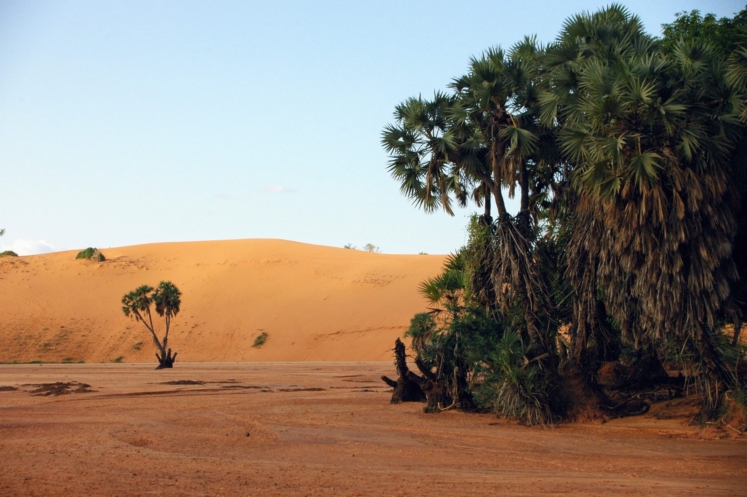
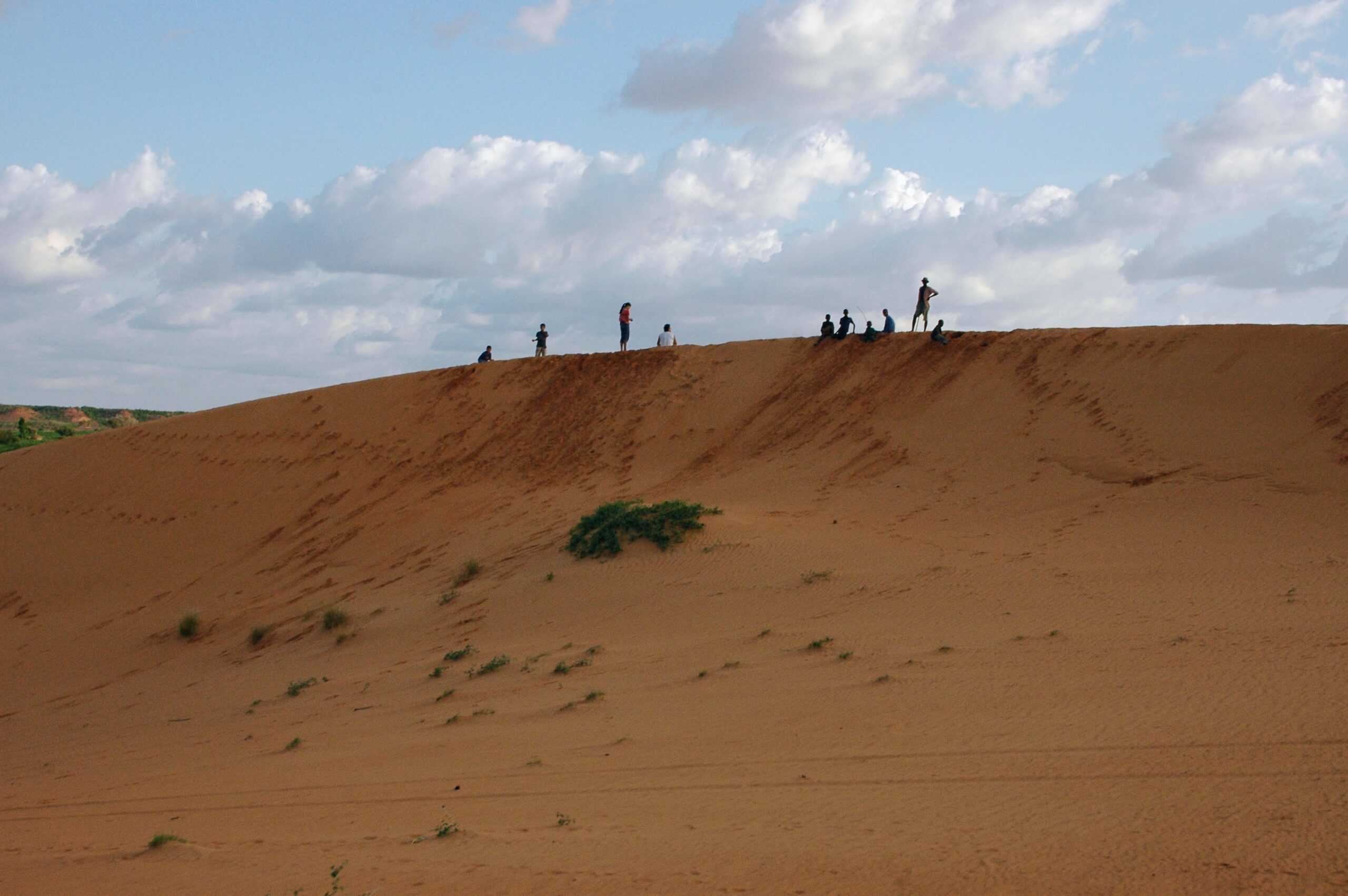
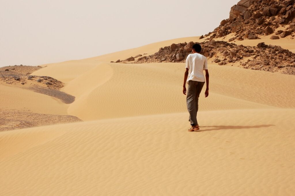
The Aïr massif also boasts magnificent dune zones. Ranked among the most beautiful in the Sahara, the
Niger is not at the top of the list of African destinations. Yet it bewitches with its desert landscapes; it amazes with its verdant oases; it delights with its beautiful light-spotted giraffes. It is to be hoped that the desert will not make this bewildering country disappear too quickly, as it is already suffering from a climate of insecurity.

